Transport Functions
Port
Road
Hub Profile
Place type
Populated place
Region
Guizhou
Time zone
Asia/Shanghai
Elevation
482 m
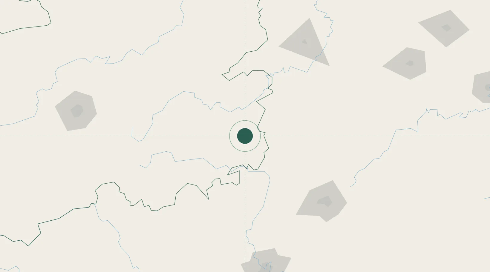
Location
Nearby Logistics Neighbours
Ports
- 1Qinzhou502 km
- 2Fang-Cheng503 km
- 3Beihai526 km
- 4Guangzhou540 km
- 5Huangpu557 km
Airports
- 1Liping Airport12 km
- 2Kaili Huangping Airport140 km
- 3Libo Airport144 km
- 4Guilin Liangjiang International Airport144 km
- 5Huaihua Zhijiang Airport148 km
DatabookThe Record of Consolidated Knowledge
China beyond logistics?