Transport Functions
Rail
Road
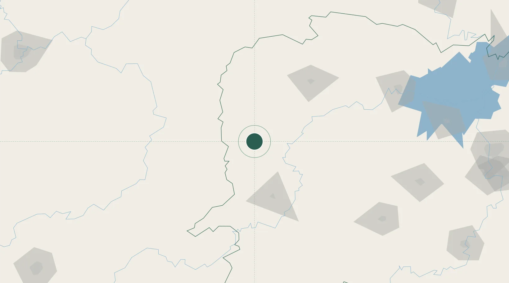
Hub Profile
Place type
Provincial seat
Region
Hunan
Population
102,332
Time zone
Asia/Shanghai
Elevation
201 m
Location
Nearby Logistics Neighbours
Cities
- 1Jiangsi53 km
- 2Tongren85 km
- 3Huaihua88 km
- 4Zhangjiajie112 km
- 5Changde208 km
Ports
- 1Hankow509 km
- 2Guangzhou677 km
- 3Huangpu690 km
- 4Huangpuxingang698 km
- 5Qinzhou741 km
Airports
DatabookThe Record of Consolidated Knowledge
China beyond logistics?