Diversified Zone · China

Tongling Bridge Economic Development Zone Active
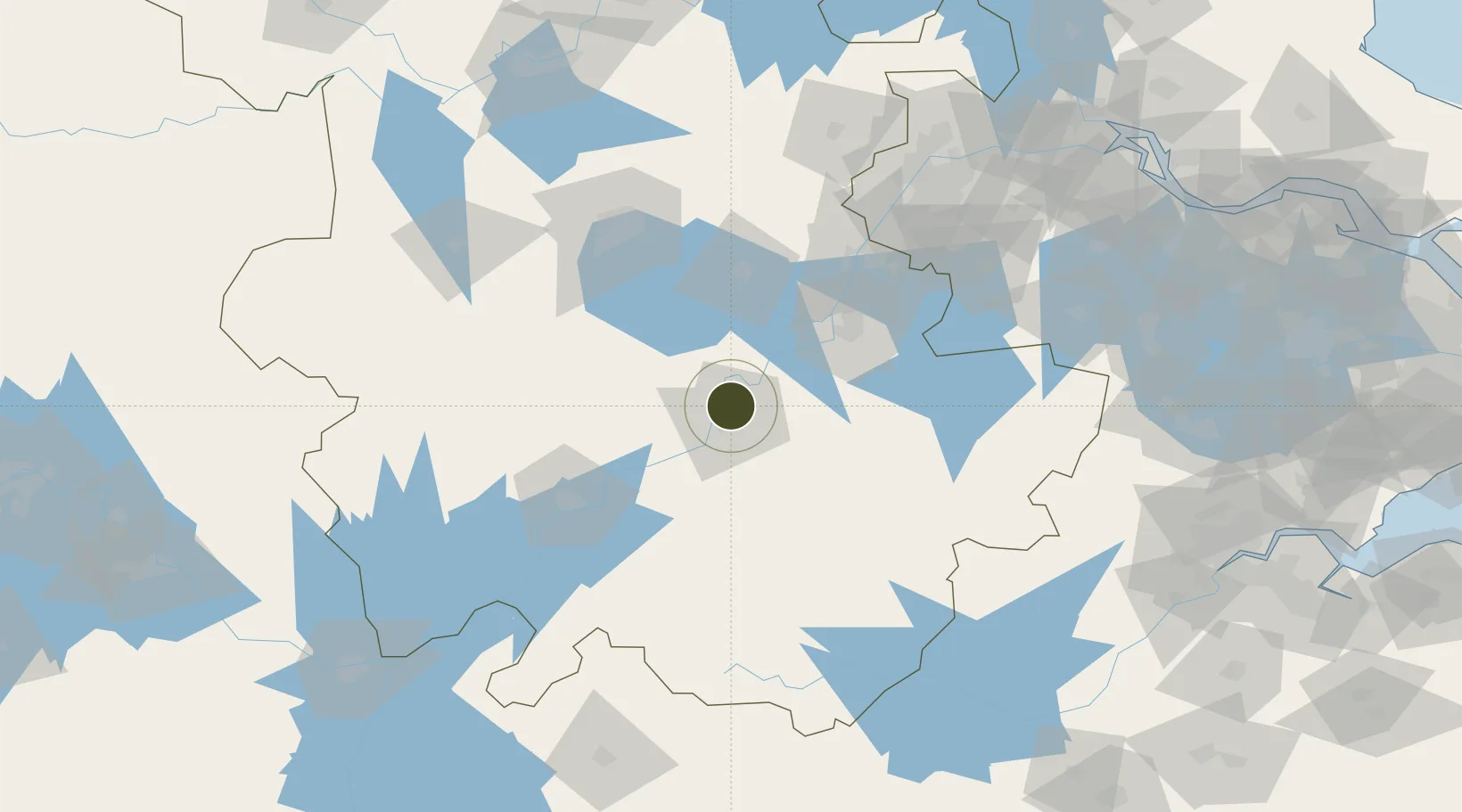
30.9894°, 117.8202°
574 ha
Zone area
150.2 km
Nearest port
30.5 km
Nearest airport

Gateway access

Nearest neighbours — logibook spatial index (haversine) over the source coordinates

Zone profile

Zone type
Diversified Zone
Open Zone Map
Region
Anhui
Open Zone Map
Status
Active
Open Zone Map
Management
Public
Open Zone Map
Operator
Tongling Bridge Economic Development Zone Management Committee
Open Zone Map
Legal framework
In April 2006, Anhui Provincial people's Government approved
Open Zone Map

Location

Location of ozm-558
Natural Earth 10m (public domain) · Anhui · ozm-558 · 30.99, 117.82GoogleOSMYandex

Nearby Logistics Neighbours

Ports
  1. 1Nanjing150 km
  2. 2Zhenjiang205 km
  3. 3Yangzhou209 km
  4. 4Changzhou232 km
  5. 5Gaogang240 km
Nearest neighbours — logibook spatial index (haversine) over the source coordinates
Airports
  1. 1Chizhou Jiuhuashan Airport31 km
  2. 2Wuhu Xuanzhou Airport82 km
  3. 3Anqing Tianzhushan Airport / Anqing North Air Base86 km
  4. 4Feidong Air Base103 km
  5. 5Nanjing Lukou International Airport129 km
Nearest neighbours — logibook spatial index (haversine) over the source coordinates
Cities
  1. 1Tongling7 km
  2. 2Wuhu68 km
  3. 3Chaohu68 km
  4. 4Xuancheng71 km
  5. 5zhengpugang Pt89 km
Nearest neighbours — logibook spatial index (haversine) over the source coordinates
DatabookThe Record of Consolidated Knowledge
China beyond logistics?
Browse databook

All Sources

Trade ZonesOpen Zone Map
CC BY
Portsthe NGA World Port Index
Public domain (US gov)
AirportsOurAirports
Public domain
LocationsUN/LOCODE
UN/LOCODE — free
← China trade zones