Diversified Zone · China

Qingyang Economic Development Zone Active
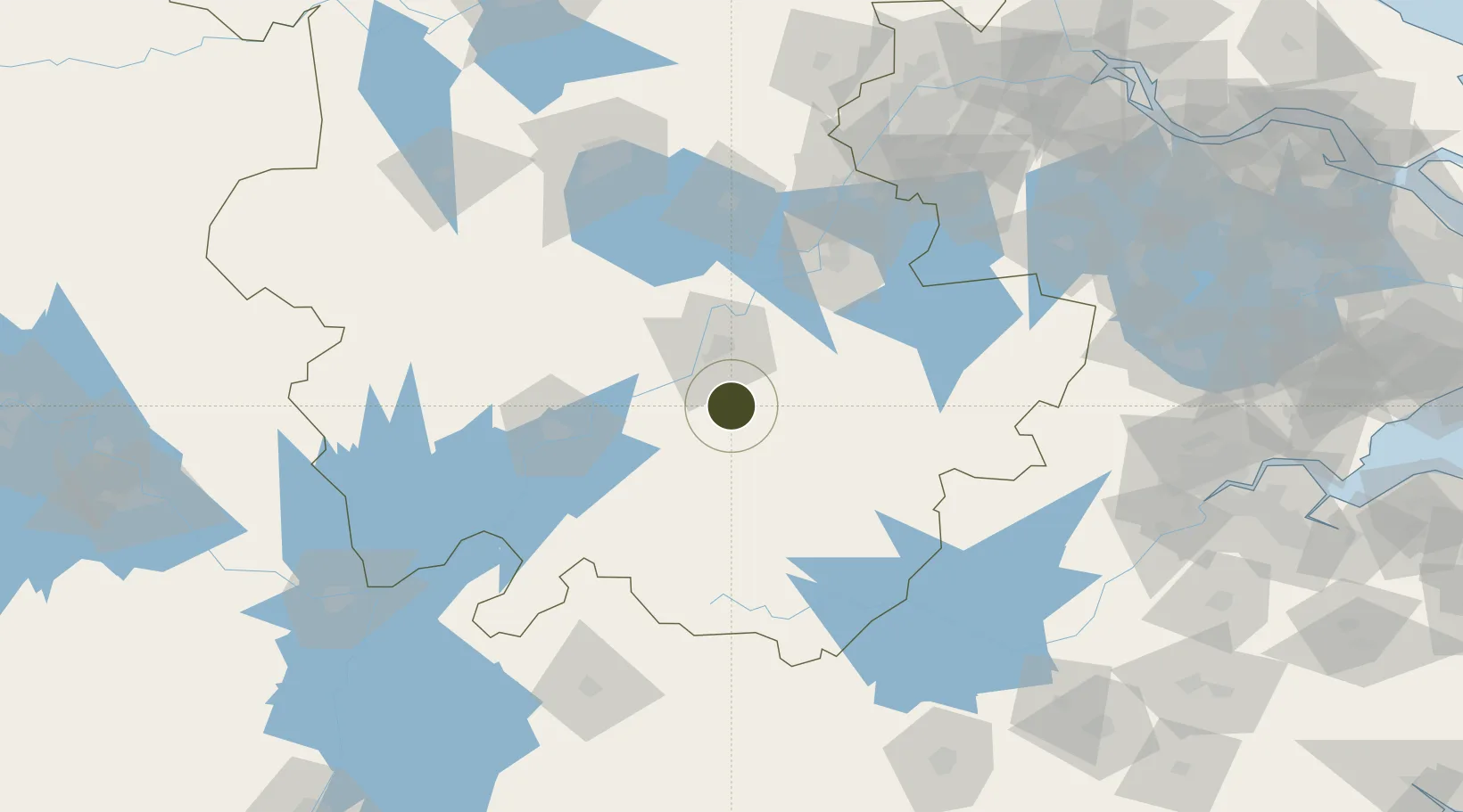
30.6550°, 117.8866°
1,622 ha
Zone area
178.7 km
Nearest port
21.4 km
Nearest airport

Gateway access

Nearest neighbours — logibook spatial index (haversine) over the source coordinates

Zone profile

Zone type
Diversified Zone
Open Zone Map
Region
Anhui
Open Zone Map
Status
Active
Open Zone Map
Management
Public
Open Zone Map
Operator
Management Committee of Qingyang Economic Development Zone
Open Zone Map
Legal framework
It was founded in March 2003
Open Zone Map

Location

Location of ozm-788
Natural Earth 10m (public domain) · Anhui · ozm-788 · 30.65, 117.89GoogleOSMYandex

Nearby Logistics Neighbours

Ports
  1. 1Nanjing179 km
  2. 2Zhenjiang227 km
  3. 3Yangzhou232 km
  4. 4Changzhou247 km
  5. 5Gaogang260 km
Nearest neighbours — logibook spatial index (haversine) over the source coordinates
Airports
  1. 1Chizhou Jiuhuashan Airport21 km
  2. 2Anqing Tianzhushan Airport / Anqing North Air Base81 km
  3. 3Wuhu Xuanzhou Airport90 km
  4. 4Huangshan Tunxi International Airport109 km
  5. 5Feidong Air Base141 km
Nearest neighbours — logibook spatial index (haversine) over the source coordinates
Cities
  1. 1Tongling32 km
  2. 2Xuancheng68 km
  3. 3Anqing82 km
  4. 4Wuhu93 km
  5. 5Chaohu105 km
Nearest neighbours — logibook spatial index (haversine) over the source coordinates
Trade Zones
  1. 1Chizhou High & New Tech Development Zone35 km
  2. 2Jingqiao Economic Development Zone37 km
  3. 3Tongling Bridge Economic Development Zone38 km
  4. 4Tongling Shizishan Economic Development Zone38 km
  5. 5Huangshan Industrial Park47 km
Nearest neighbours — logibook spatial index (haversine) over the source coordinates
DatabookThe Record of Consolidated Knowledge
China beyond logistics?
Browse databook

All Sources

Trade ZonesOpen Zone Map
CC BY
Portsthe NGA World Port Index
Public domain (US gov)
AirportsOurAirports
Public domain
LocationsUN/LOCODE
UN/LOCODE — free
← China trade zones