Free Trade Zone · China
Qinyang Economic and Technological Development Zone Active
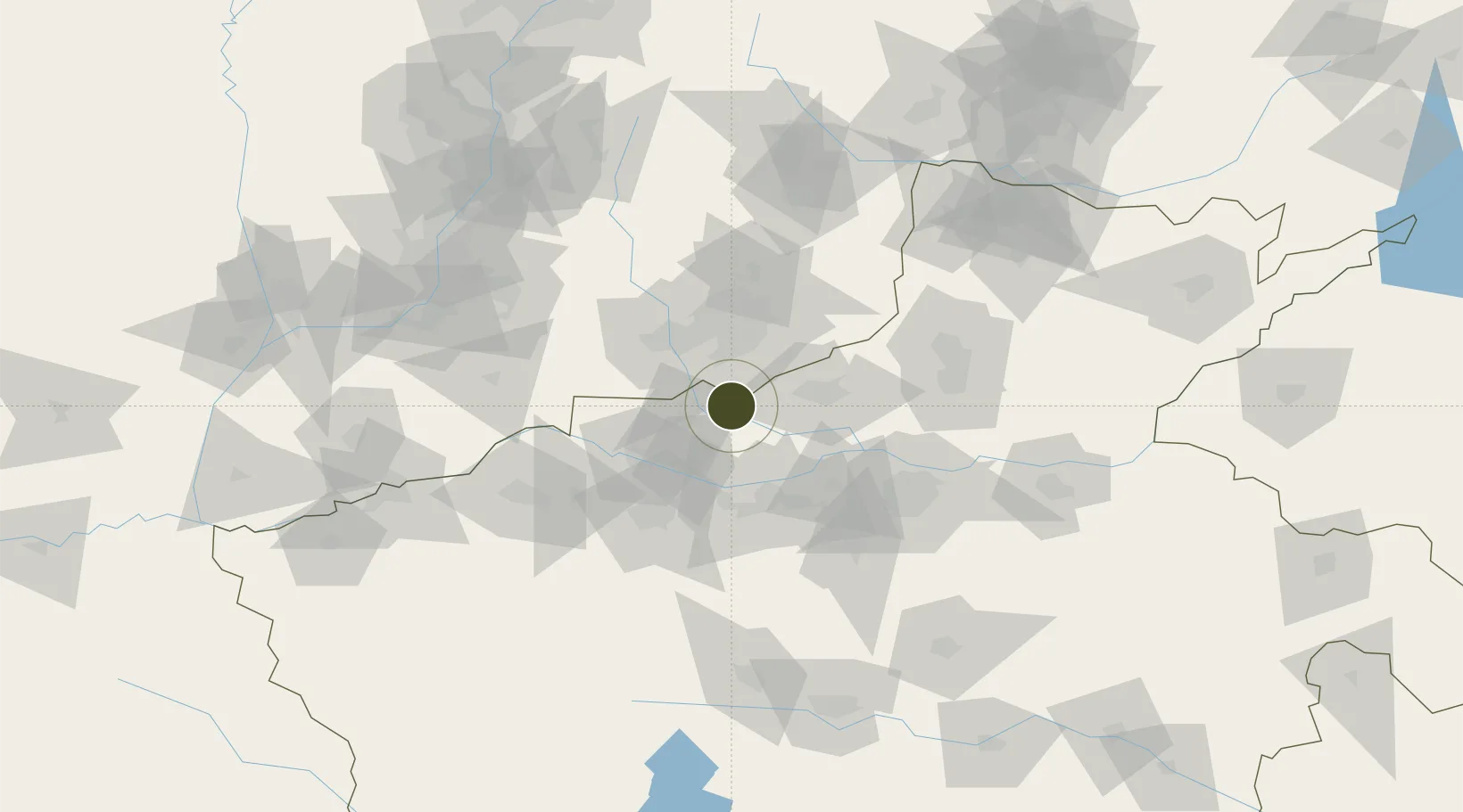
35.1885°, 112.8119°
935 ha
Zone area
530.2 km
Nearest port
63.0 km
Nearest airport
Gateway access
Zone profile
Zone type
Free Trade Zone
Region
Henan
Status
Active
Management
Public
Operator
Working Committee of Qinyang Economic and Technological Development Zone
Legal framework
General Plan of Qinyuan Economic and Technological Development Zone (2019-2035)
Location
Nearby Logistics Neighbours
Ports
- 1Hankow530 km
- 2Lanshan596 km
- 3Lianyungang607 km
- 4Tianjin Xin Gang612 km
- 5Rizhao613 km
Airports
- 1Luoyang Beijiao Airport63 km
- 2Zhengzhou Air Base91 km
- 3Zhengzhou Xinzheng International Airport120 km
- 4Changzhi Wangcun Airport121 km
- 5Kaifeng Air Base147 km
Cities
- 1Jiaozuo32 km
- 2Jincheng33 km
- 3Luoyang70 km
- 4Dazhaoying87 km
- 5Zhengzhou91 km
DatabookThe Record of Consolidated Knowledge
China beyond logistics?