Transport Functions
Multimodal
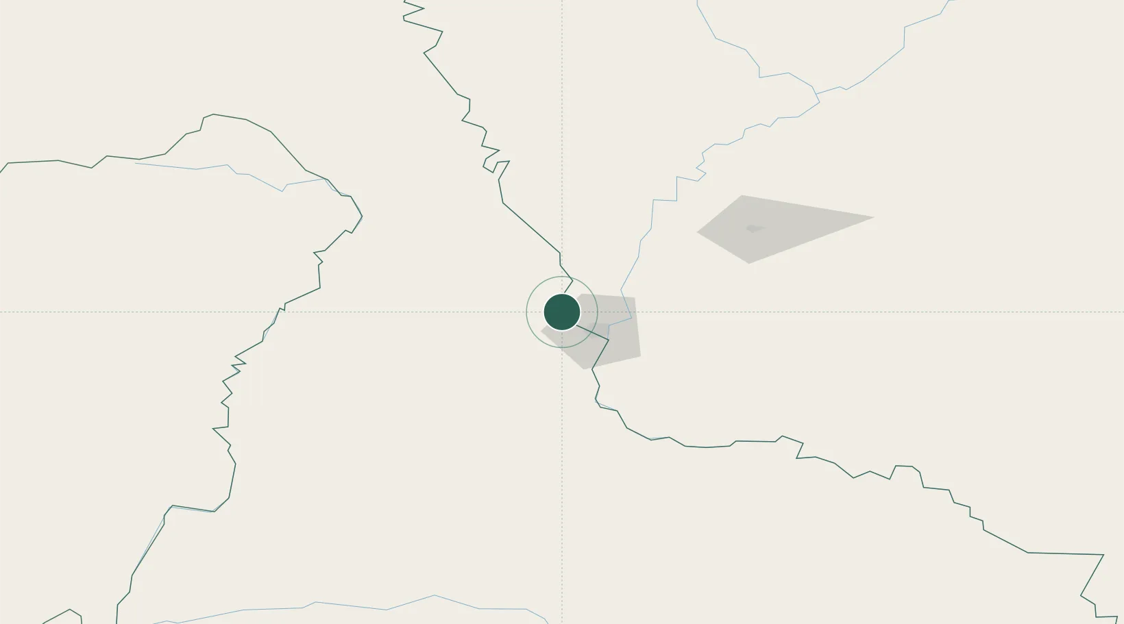
Hub Profile
Place type
Populated place
Region
Vysočina
Time zone
Europe/Prague
Elevation
623 m
Location
Nearby Logistics Neighbours
Ports
- 1Vladivostok881 km
- 2Slavyanka892 km
- 3Pos'yet900 km
- 4Zarubino909 km
- 5Najin935 km
Airports
- 1Ignatyevo Airport9 km
- 2Heihe Aihui Airport24 km
- 3Daxing'anling Elunchun Airport226 km
- 4Wudalianchi Dedu Airport232 km
- 5Yichun Lindu Airport318 km
DatabookThe Record of Consolidated Knowledge
Czechia beyond logistics?