Transport Functions
Port
Fixed Transport
Hub Profile
Place type
Provincial seat
Region
Heilongjiang
Population
223,832
Time zone
Asia/Shanghai
Elevation
139 m
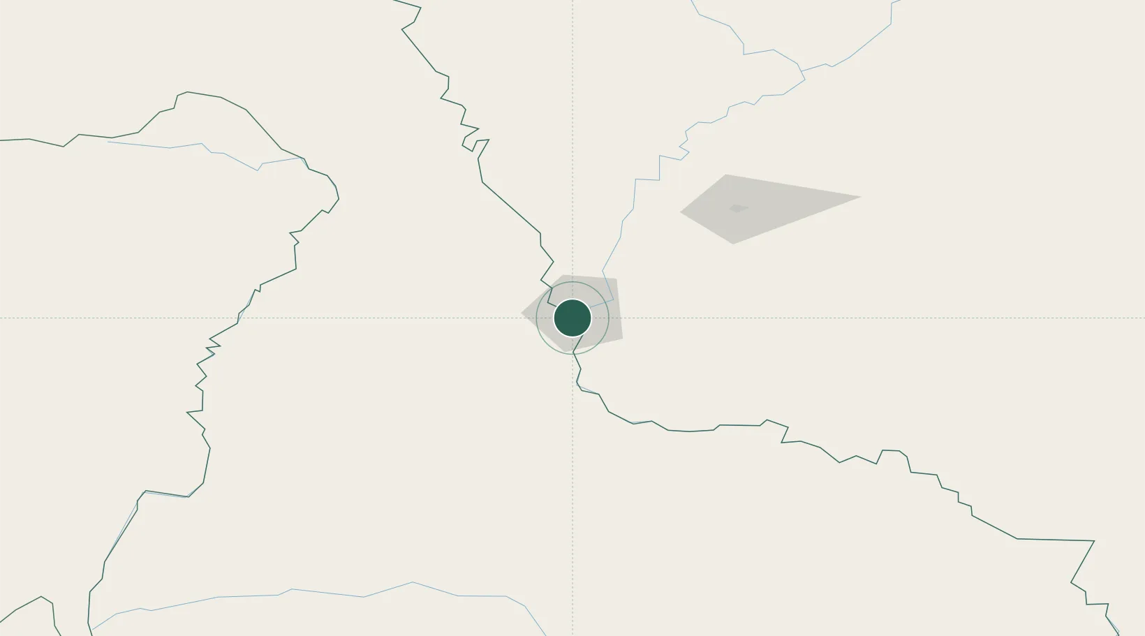
Location
Nearby Logistics Neighbours
Ports
- 1Vladivostok860 km
- 2Slavyanka871 km
- 3Pos'yet881 km
- 4Zarubino889 km
- 5Najin915 km
Airports
- 1Heihe Aihui Airport14 km
- 2Ignatyevo Airport22 km
- 3Wudalianchi Dedu Airport222 km
- 4Daxing'anling Elunchun Airport240 km
- 5Yichun Lindu Airport298 km
DatabookThe Record of Consolidated Knowledge
China beyond logistics?