Transport Functions
Port
Hub Profile
Place type
District seat
Region
Heilongjiang
Time zone
Asia/Shanghai
Elevation
127 m
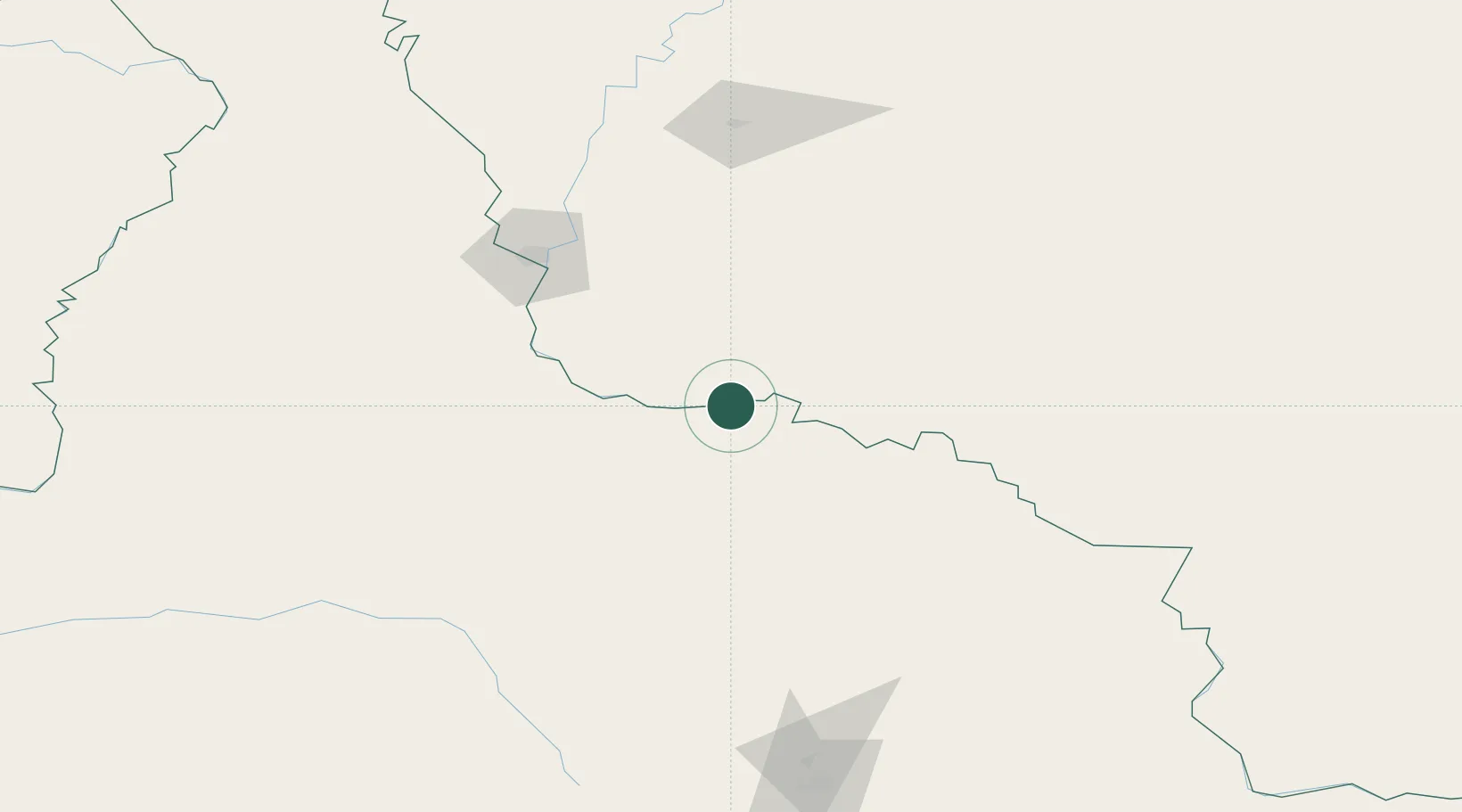
Location
Nearby Logistics Neighbours
Ports
- 1Vladivostok763 km
- 2Slavyanka776 km
- 3Pos'yet788 km
- 4Zarubino795 km
- 5Nakhodka824 km
Airports
- 1Heihe Aihui Airport108 km
- 2Ignatyevo Airport123 km
- 3Yichun Lindu Airport204 km
- 4Wudalianchi Dedu Airport211 km
- 5Daxing'anling Elunchun Airport324 km
Trade Zones
DatabookThe Record of Consolidated Knowledge
China beyond logistics?