Export Processing Zone · Vietnam

Cam Liên Industrial Zone Active
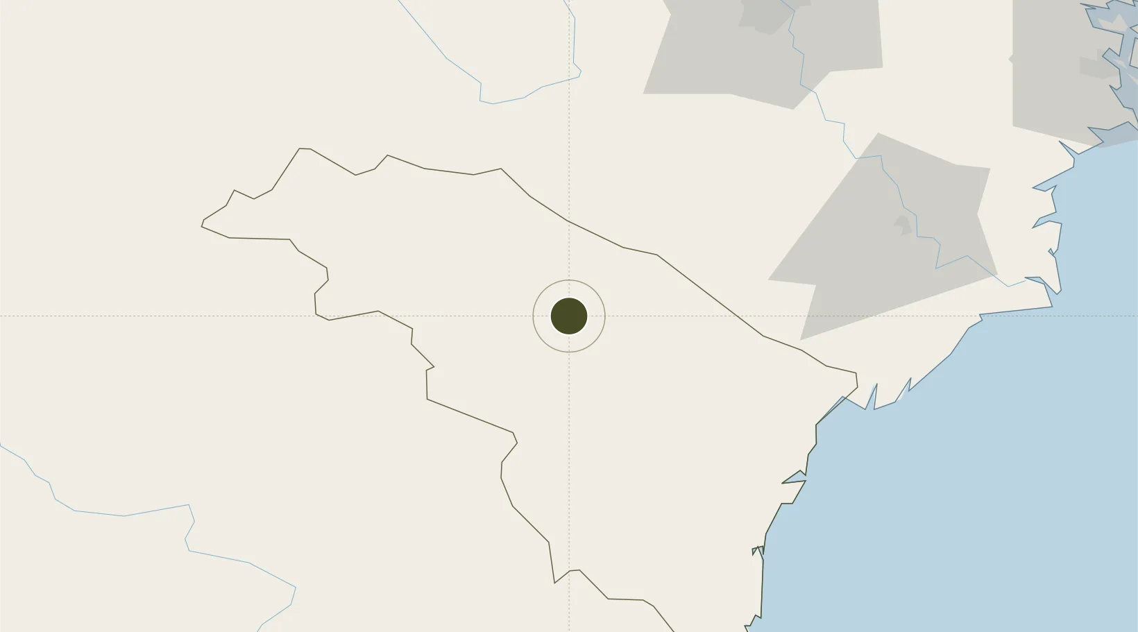
20.2078°, 105.3146°
450 ha
Zone area
162.8 km
Nearest port
37.6 km
Nearest airport

Gateway access

Nearest neighbours — logibook spatial index (haversine) over the source coordinates

Zone profile

Zone type
Export Processing Zone
Open Zone Map
Region
Thanh Hóa
Open Zone Map
Status
Active
Open Zone Map
Management
Public
Open Zone Map
Operator
Quang Binh Economic Zone Authority
Open Zone Map
Legal framework
Decree No.82/2018/ND-CP on Management of Industrial Parks and Economic Zones, Decree No 218/2013/ND-CP
Open Zone Map

Location

Location of ozm-5196
Natural Earth 10m (public domain) · Thanh Hóa · ozm-5196 · 20.21, 105.31GoogleOSMYandex

Nearby Logistics Neighbours

Ports
  1. 1Hai Phong163 km
  2. 2Nghe Tinh167 km
  3. 3Hon Gai200 km
  4. 4Cam Pha232 km
  5. 5Fang-Cheng359 km
Nearest neighbours — logibook spatial index (haversine) over the source coordinates
Airports
  1. 1Tho Xuan Airport38 km
  2. 2Gia Lam Air Base110 km
  3. 3Noi Bai International Airport124 km
  4. 4Sam Neua Airport132 km
  5. 5Cat Bi International Airport162 km
Nearest neighbours — logibook spatial index (haversine) over the source coordinates
Cities
  1. 1Phu Lý71 km
  2. 2Hoa Mac86 km
  3. 3Kim Dong89 km
  4. 4Nghe Tinh90 km
  5. 5Nghi Son111 km
Nearest neighbours — logibook spatial index (haversine) over the source coordinates
Trade Zones
  1. 1Lạc Thịnh Industrial Zone34 km
  2. 2Lam Sơn - Sao Vàng Industrial Zone39 km
  3. 3Bỉm Sơn B Industrial Zone56 km
  4. 4Bỉm Sơn A Industrial Zone57 km
  5. 5Định Hướng - Tay Ga Industrial Zone62 km
Nearest neighbours — logibook spatial index (haversine) over the source coordinates
DatabookThe Record of Consolidated Knowledge
Vietnam beyond logistics?
Browse databook

All Sources

Trade ZonesOpen Zone Map
CC BY
Portsthe NGA World Port Index
Public domain (US gov)
AirportsOurAirports
Public domain
LocationsUN/LOCODE
UN/LOCODE — free
← Vietnam trade zones