Diversified Zone · Vietnam

Lam Sơn - Sao Vàng Industrial Zone Under Development
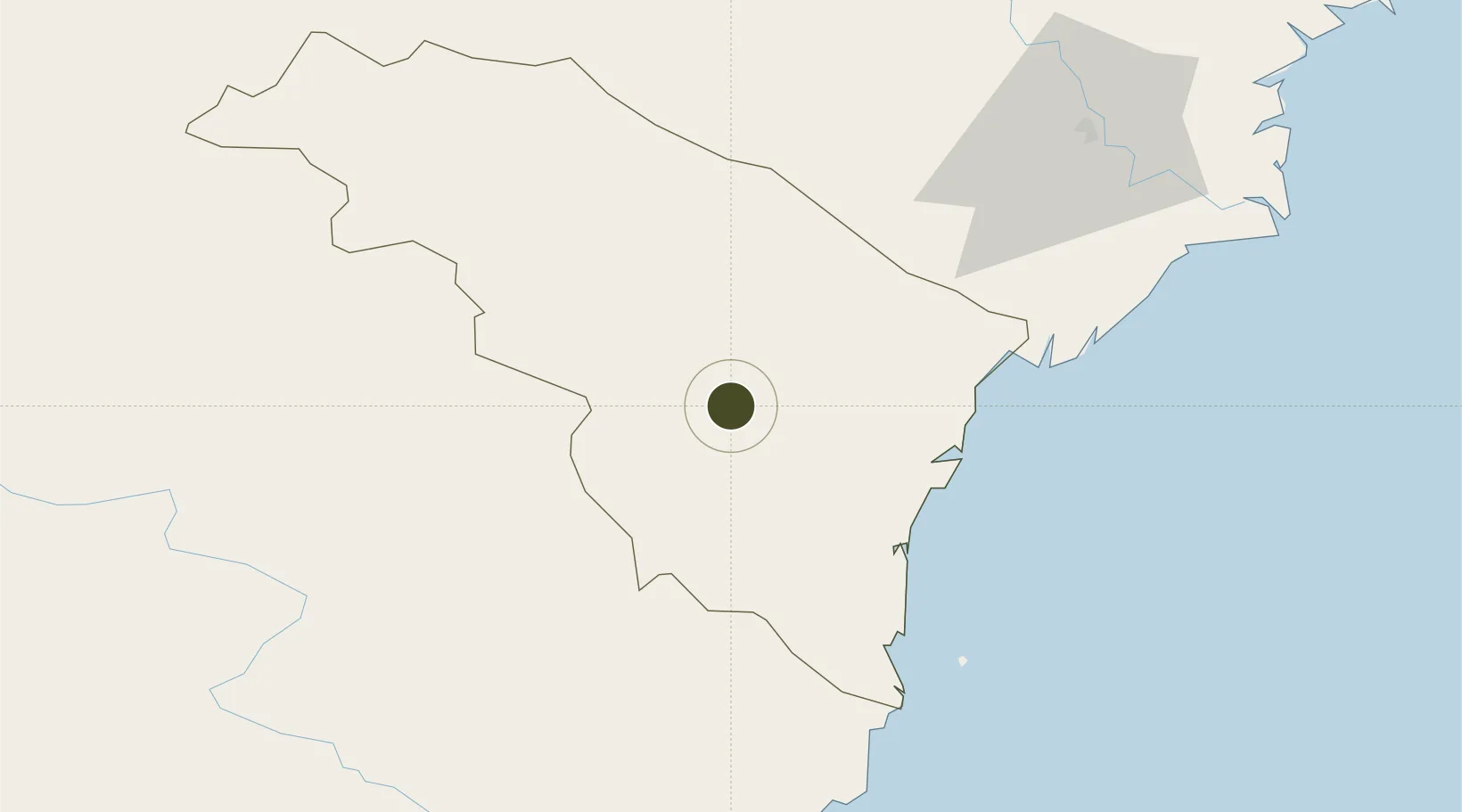
19.8869°, 105.4625°
537 ha
Zone area
128.6 km
Nearest port
1.7 km
Nearest airport

Gateway access

Nearest neighbours — logibook spatial index (haversine) over the source coordinates

Zone profile

Zone type
Diversified Zone
Open Zone Map
Region
Thanh Hóa
Open Zone Map
Status
Under Development
Open Zone Map
Management
Public
Open Zone Map
Operator
Nghi Son Economic Zone and Industrial Zones of Thanh Hoa Authority
Open Zone Map
Legal framework
Decree No.82/2018/ND-CP on Management of Industrial Parks and Economic Zones, Decree No 218/2013/ND-CP
Open Zone Map

Location

Location of ozm-5184
Natural Earth 10m (public domain) · Thanh Hóa · ozm-5184 · 19.89, 105.46GoogleOSMYandex

Nearby Logistics Neighbours

Ports
  1. 1Nghe Tinh129 km
  2. 2Hai Phong171 km
  3. 3Hon Gai205 km
  4. 4Cam Pha236 km
  5. 5Basuo342 km
Nearest neighbours — logibook spatial index (haversine) over the source coordinates
Airports
  1. 1Tho Xuan Airport2 km
  2. 2Vinh Airport130 km
  3. 3Gia Lam Air Base136 km
  4. 4Noi Bai International Airport153 km
  5. 5Sam Neua Airport157 km
Nearest neighbours — logibook spatial index (haversine) over the source coordinates
Cities
  1. 1Kim Dong50 km
  2. 2Nghi Son73 km
  3. 3Phu Lý85 km
  4. 4Nghe Tinh92 km
  5. 5Hoa Mac100 km
Nearest neighbours — logibook spatial index (haversine) over the source coordinates
Trade Zones
  1. 1Định Hướng - Tay Ga Industrial Zone32 km
  2. 2Lễ Môn Industrial Park37 km
  3. 3Cam Liên Industrial Zone39 km
  4. 4Bỉm Sơn B Industrial Zone47 km
  5. 5Bỉm Sơn A Industrial Zone47 km
Nearest neighbours — logibook spatial index (haversine) over the source coordinates
DatabookThe Record of Consolidated Knowledge
Vietnam beyond logistics?
Browse databook

All Sources

Trade ZonesOpen Zone Map
CC BY
Portsthe NGA World Port Index
Public domain (US gov)
AirportsOurAirports
Public domain
LocationsUN/LOCODE
UN/LOCODE — free
← Vietnam trade zones