Diversified Zone · Vietnam

Lạc Thịnh Industrial Zone Active
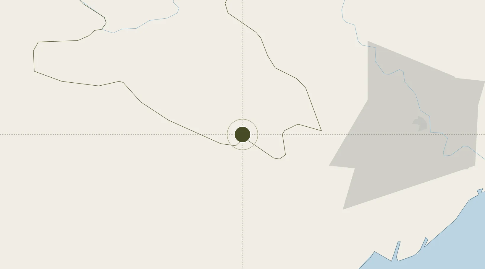
20.4060°, 105.5664°
136 ha
Zone area
129.3 km
Nearest port
57.0 km
Nearest airport

Gateway access

Nearest neighbours — logibook spatial index (haversine) over the source coordinates

Zone profile

Zone type
Diversified Zone
Open Zone Map
Region
Hòa Bình
Open Zone Map
Status
Active
Open Zone Map
Management
Public-Private Partnership
Open Zone Map
Operator
Vietnam Urban And Industrial Zone Investment Development Corporation (IDICO)
Open Zone Map
Legal framework
Decree No.82/2018/ND-CP on Management of Industrial Parks and Economic Zones, Decree No 218/2013/ND-CP
Open Zone Map

Location

Location of ozm-5120
Natural Earth 10m (public domain) · Hòa Bình · ozm-5120 · 20.41, 105.57GoogleOSMYandex

Nearby Logistics Neighbours

Ports
  1. 1Hai Phong129 km
  2. 2Hon Gai167 km
  3. 3Nghe Tinh184 km
  4. 4Cam Pha200 km
  5. 5Fang-Cheng325 km
Nearest neighbours — logibook spatial index (haversine) over the source coordinates
Airports
  1. 1Tho Xuan Airport57 km
  2. 2Gia Lam Air Base78 km
  3. 3Noi Bai International Airport94 km
  4. 4Cat Bi International Airport129 km
  5. 5Sam Neua Airport156 km
Nearest neighbours — logibook spatial index (haversine) over the source coordinates
Cities
  1. 1Phu Lý38 km
  2. 2Hoa Mac52 km
  3. 3Nghe Tinh61 km
  4. 4Luong Tai86 km
  5. 5Hanoi92 km
Nearest neighbours — logibook spatial index (haversine) over the source coordinates
Trade Zones
  1. 1Cam Liên Industrial Zone34 km
  2. 2Hoàng Đồng Industrial Estate43 km
  3. 3Bỉm Sơn B Industrial Zone44 km
  4. 4Bỉm Sơn A Industrial Zone44 km
  5. 5Đồng Văn - Duy Tiên Industrial Estate45 km
Nearest neighbours — logibook spatial index (haversine) over the source coordinates
DatabookThe Record of Consolidated Knowledge
Vietnam beyond logistics?
Browse databook

All Sources

Trade ZonesOpen Zone Map
CC BY
Portsthe NGA World Port Index
Public domain (US gov)
AirportsOurAirports
Public domain
LocationsUN/LOCODE
UN/LOCODE — free
← Vietnam trade zones