Industrial Zone · Vietnam

The North Thang Long Industrial Park Active
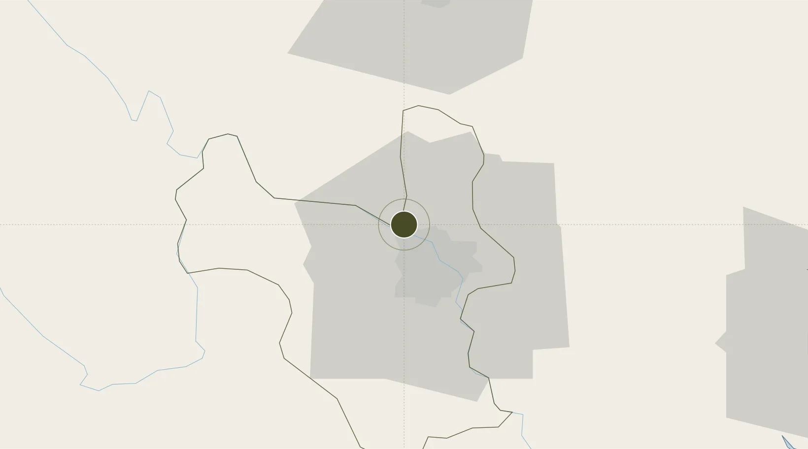
21.1169°, 105.7741°
30 ha
Zone area
97.0 km
Nearest port
12.1 km
Nearest airport

Gateway access

Nearest neighbours — logibook spatial index (haversine) over the source coordinates

Zone profile

Zone type
Industrial Zone
the World Bank SEZ database
Region
Ha Noi
the World Bank SEZ database
Status
Active
the World Bank SEZ database
Established
1997
the World Bank SEZ database
Management
Private management
the World Bank SEZ database
Operator
Sumitomo Corporation & Dong Anh Mechanical Company
the World Bank SEZ database
Regulatory authority
Chairmen of Provincial People's Committees
the World Bank SEZ database
Legal framework
Law on Foreign Investment in Vietnam, 1996; Decree No. 36/1997/CP on The Regulation of Industrial, Economic and Export processing zones
the World Bank SEZ database

Location

Location of VNM3
Natural Earth 10m (public domain) · Ha Noi · VNM3 · 21.12, 105.77GoogleOSMYandex

Fiscal & incentives

Corporate tax
20%
the World Bank SEZ database
Tax relief
100% exempt
the World Bank SEZ database
Relief duration
4 years
the World Bank SEZ database
VAT
No exemption
the World Bank SEZ database
Import duty (inputs)
0% exempt
the World Bank SEZ database
Import duty (capex)
100% exempt
the World Bank SEZ database
Profit repatriation
No exemption
the World Bank SEZ database
Capital gains
No exemption
the World Bank SEZ database
Withholding tax
No exemption
the World Bank SEZ database
Min. investment
None
the World Bank SEZ database
Min. export
0%
the World Bank SEZ database
Employment incentive
No exemption
the World Bank SEZ database
Developer incentive
No established framework
the World Bank SEZ database

Nearby Logistics Neighbours

Ports
  1. 1Hai Phong97 km
  2. 2Hon Gai135 km
  3. 3Cam Pha166 km
  4. 4Nghe Tinh261 km
  5. 5Fang-Cheng276 km
Nearest neighbours — logibook spatial index (haversine) over the source coordinates
Airports
  1. 1Noi Bai International Airport12 km
  2. 2Gia Lam Air Base14 km
  3. 3Cat Bi International Airport104 km
  4. 4Tho Xuan Airport139 km
  5. 5Van Don International Airport170 km
Nearest neighbours — logibook spatial index (haversine) over the source coordinates
Cities
  1. 1Hanoi23 km
  2. 2Hoa Lac35 km
  3. 3Luong Tai41 km
  4. 4Thái Nguyên49 km
  5. 5Hoa Mac59 km
Nearest neighbours — logibook spatial index (haversine) over the source coordinates
Trade Zones
  1. 1Quang Minh I Industrial Park8 km
  2. 2Phia Tay Thanh Pho Hai Industrial Estate10 km
  3. 3Noi Bai Industrial Park13 km
  4. 4Kim Hoa Industrial Zone14 km
  5. 5Tu Son Industrial Estate16 km
Nearest neighbours — logibook spatial index (haversine) over the source coordinates
DatabookThe Record of Consolidated Knowledge
Vietnam beyond logistics?
Browse databook

All Sources

Trade Zonesthe World Bank SEZ database
CC BY 4.0
Portsthe NGA World Port Index
Public domain (US gov)
AirportsOurAirports
Public domain
LocationsUN/LOCODE
UN/LOCODE — free
← Vietnam trade zones