Diversified Zone · Vietnam

Nhuan Trach Industrial Zone Active
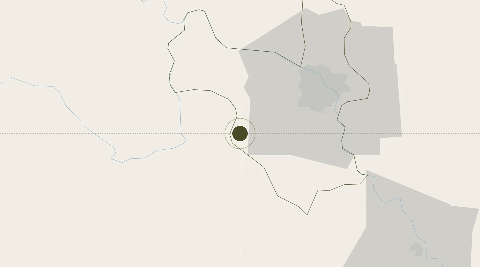
20.8639°, 105.5435°
219 ha
Zone area
118.6 km
Nearest port
40.6 km
Nearest airport

Gateway access

Nearest neighbours — logibook spatial index (haversine) over the source coordinates

Zone profile

Zone type
Diversified Zone
Open Zone Map
Region
Ha Noi
Open Zone Map
Status
Active
Open Zone Map
Management
Public
Open Zone Map
Operator
Hoa Binh Management Board of Industrial Parks
Open Zone Map
Legal framework
Decree No.82/2018/ND-CP on Management of Industrial Parks and Economic Zones, Decree No 218/2013/ND-CP
Open Zone Map

Location

Location of ozm-5077
Natural Earth 10m (public domain) · Ha Noi · ozm-5077 · 20.86, 105.54GoogleOSMYandex

Nearby Logistics Neighbours

Ports
  1. 1Hai Phong119 km
  2. 2Hon Gai159 km
  3. 3Cam Pha190 km
  4. 4Nghe Tinh234 km
  5. 5Fang-Cheng307 km
Nearest neighbours — logibook spatial index (haversine) over the source coordinates
Airports
  1. 1Gia Lam Air Base41 km
  2. 2Noi Bai International Airport48 km
  3. 3Tho Xuan Airport107 km
  4. 4Cat Bi International Airport123 km
  5. 5Sam Neua Airport161 km
Nearest neighbours — logibook spatial index (haversine) over the source coordinates
Cities
  1. 1Hoa Lac44 km
  2. 2Phu Lý52 km
  3. 3Hoa Mac54 km
  4. 4Hanoi55 km
  5. 5Luong Tai62 km
Nearest neighbours — logibook spatial index (haversine) over the source coordinates
Trade Zones
  1. 1Luong Son Industrial Zone3 km
  2. 2Phu Nghia Industrial Park15 km
  3. 3Hoa Lac Hi-Tech Park16 km
  4. 4Mong Hoa Industrial Zone19 km
  5. 5Thach That - Quoc Oai Industrial Park19 km
Nearest neighbours — logibook spatial index (haversine) over the source coordinates
DatabookThe Record of Consolidated Knowledge
Vietnam beyond logistics?
Browse databook

All Sources

Trade ZonesOpen Zone Map
CC BY
Portsthe NGA World Port Index
Public domain (US gov)
AirportsOurAirports
Public domain
LocationsUN/LOCODE
UN/LOCODE — free
← Vietnam trade zones