UN/LOCODE hub · Vietnam
VNDTS

Tien Sa Terminal

16.1167°, 108.2000°
2
Transport functions

Transport Functions

Port
Road
UN/LOCODE

Hub Profile

Region
DN
GeoNames

Location

Location of VNDTS
Natural Earth 10m (public domain) · DN · VNDTS · 16.12, 108.20GoogleOSMYandex

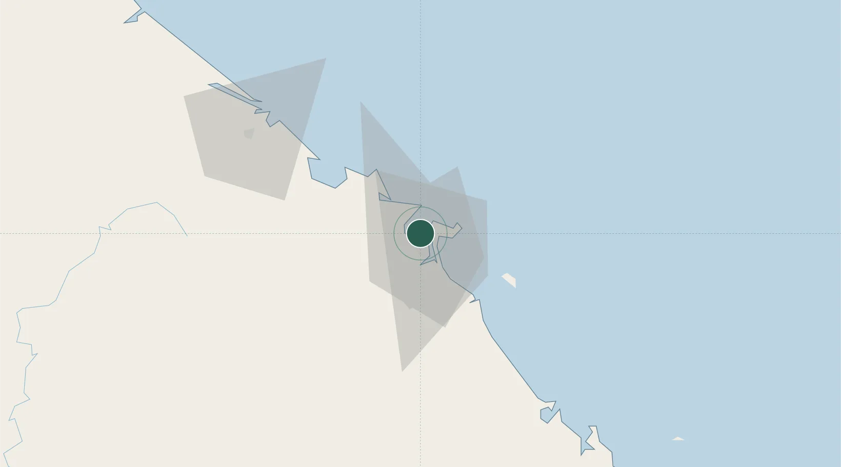
Nearby Logistics Neighbours

Cities
  1. 1Da Nang4 km
  2. 2Hai Son4 km
  3. 3Nguyen Van Troi Port8 km
  4. 4Song Han 98 km
  5. 5Chan May Port32 km
Nearest neighbours — logibook spatial index (haversine) over the source coordinates
Ports
  1. 1Da Nang3 km
  2. 2Sanya278 km
  3. 3Qui Nhon284 km
  4. 4Basuo335 km
  5. 5Nghe Tinh392 km
Nearest neighbours — logibook spatial index (haversine) over the source coordinates
Airports
  1. 1Da Nang International Airport8 km
  2. 2Phu Bai International Airport62 km
  3. 3Chu Lai Airport96 km
  4. 4Dong Hoi Airport231 km
  5. 5Pleiku Airport236 km
Nearest neighbours — logibook spatial index (haversine) over the source coordinates
Trade Zones
  1. 1Đà Nẵng Seafood Service Industrial Zone5 km
  2. 2Đà Nẵng (An Don) Industrial Zone6 km
  3. 3Hoa Khanh Industrial Park8 km
  4. 4Đà Nẵng Hi-Tech Park8 km
  5. 5Da Nang Hi-Tech Park9 km
Nearest neighbours — logibook spatial index (haversine) over the source coordinates
DatabookThe Record of Consolidated Knowledge
Vietnam beyond logistics?
Browse databook

All Sources

LocationsUN/LOCODE
UN/LOCODE — free
Portsthe NGA World Port Index
Public domain (US gov)
AirportsOurAirports
Public domain
Trade Zonesthe World Bank SEZ database
CC BY 4.0
Trade ZonesOpen Zone Map
CC BY
← Vietnam locations