UN/LOCODE hub · Vietnam
VNSTC

Song Than ICD

10.7667°, 106.7167°
3
Transport functions

Transport Functions

Road
Multimodal
Fixed Transport
UN/LOCODE

Hub Profile

Region
57
GeoNames

Location

Location of VNSTC
Natural Earth 10m (public domain) · 57 · VNSTC · 10.77, 106.72GoogleOSMYandex

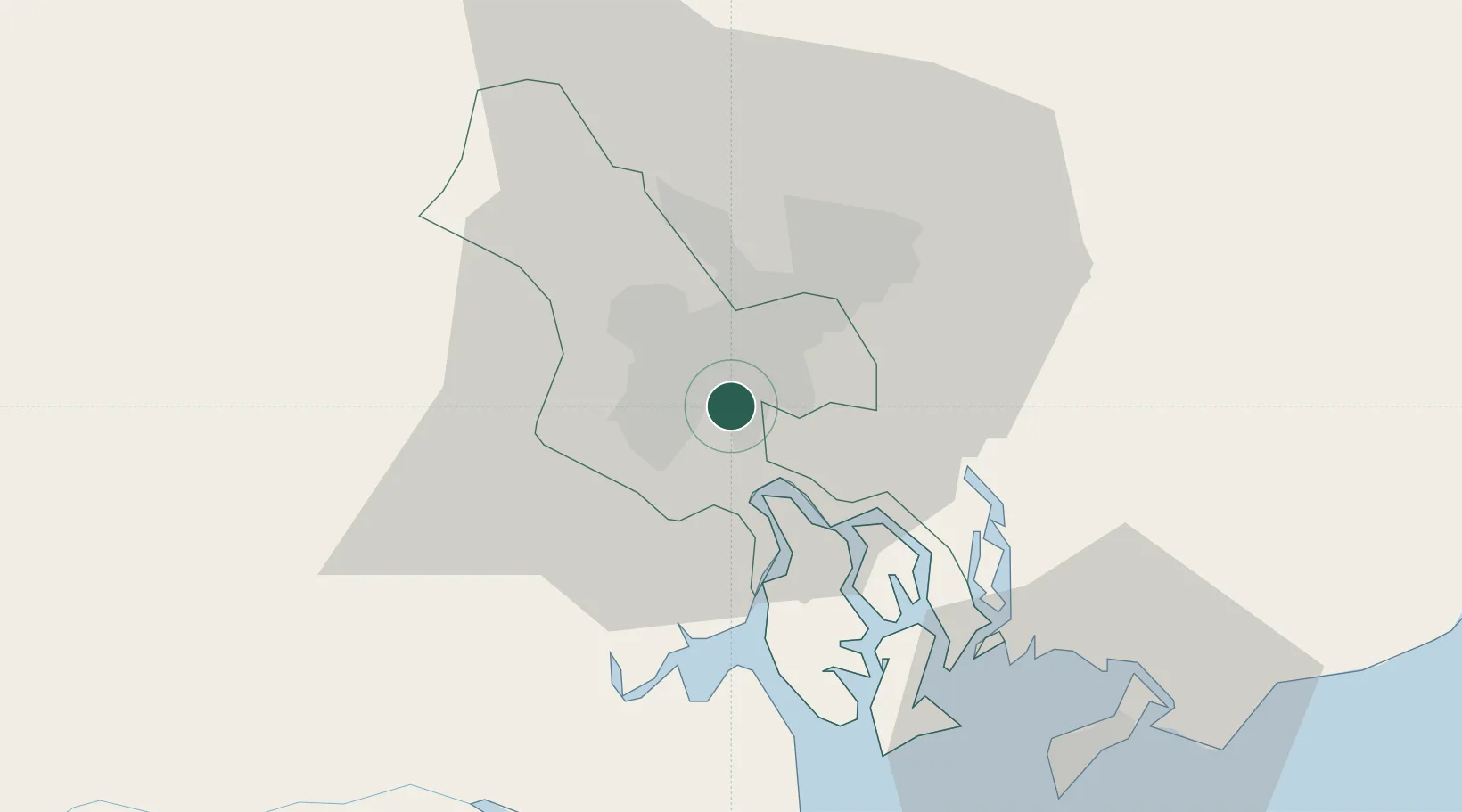
Nearby Logistics Neighbours

Cities
  1. 1Bèn Nghè3 km
  2. 2Tân Thuan Dông4 km
  3. 3Lotus Port4 km
  4. 4Phú Nhuan6 km
  5. 5Cat Lai Oil Port7 km
Nearest neighbours — logibook spatial index (haversine) over the source coordinates
Ports
  1. 1Thanh Ho Chi Minh0 km
  2. 2Cat Lai8 km
  3. 3Thanh Hoa8 km
  4. 4Phu My40 km
  5. 5Vung Tau63 km
Nearest neighbours — logibook spatial index (haversine) over the source coordinates
Airports
  1. 1Tan Son Nhat International Airport9 km
  2. 2Long Thanh International Airport (Under Construction)35 km
  3. 3Can Tho International Airport134 km
  4. 4Rach Gia Airport195 km
  5. 5Techo International Airport207 km
Nearest neighbours — logibook spatial index (haversine) over the source coordinates
Trade Zones
  1. 1Tan Thuan Export Processing Zone3 km
  2. 2Phu Gia Industrial Park7 km
  3. 3Tan Binh Industrial Park12 km
  4. 4Song Than 1 Industrial Zone14 km
  5. 5Tan Tao Industrial Park14 km
Nearest neighbours — logibook spatial index (haversine) over the source coordinates
DatabookThe Record of Consolidated Knowledge
Vietnam beyond logistics?
Browse databook

All Sources

LocationsUN/LOCODE
UN/LOCODE — free
Portsthe NGA World Port Index
Public domain (US gov)
AirportsOurAirports
Public domain
Trade Zonesthe World Bank SEZ database
CC BY 4.0
Trade ZonesOpen Zone Map
CC BY
← Vietnam locations