Transport Functions
Multimodal
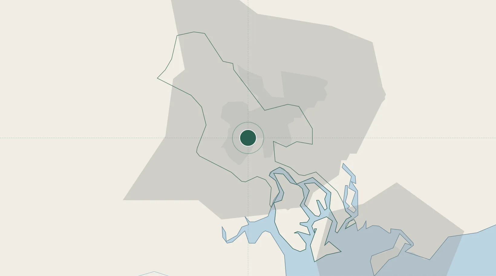
Hub Profile
Place type
Populated place
Region
Vinh Long
Time zone
Asia/Ho_Chi_Minh
Elevation
0 m
Location
Nearby Logistics Neighbours
Cities
- 1Tan Binh3 km
- 2Song Than ICD6 km
- 3Tân Thuan Dông8 km
- 4Bèn Nghè8 km
- 5Lotus Port9 km
Ports
- 1Thanh Ho Chi Minh6 km
- 2Thanh Hoa12 km
- 3Cat Lai13 km
- 4Phu My46 km
- 5Vung Tau68 km
Airports
Trade Zones
DatabookThe Record of Consolidated Knowledge
Vietnam beyond logistics?