Diversified Zone · Vietnam

Phu Nghia Industrial Park Active
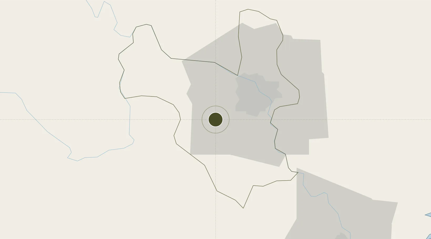
20.9268°, 105.6743°
170 ha
Zone area
104.8 km
Nearest port
25.4 km
Nearest airport

Gateway access

Nearest neighbours — logibook spatial index (haversine) over the source coordinates

Zone profile

Zone type
Diversified Zone
Open Zone Map
Region
Ha Noi
Open Zone Map
Status
Active
Open Zone Map
Management
Public-Private Partnership
Open Zone Map
Operator
Phu My Industrial Development JSC
Open Zone Map
Legal framework
Decree No.82/2018/ND-CP on Management of Industrial Parks and Economic Zones, Decree No 218/2013/ND-CP
Open Zone Map

Location

Location of ozm-5086
Natural Earth 10m (public domain) · Ha Noi · ozm-5086 · 20.93, 105.67GoogleOSMYandex

Nearby Logistics Neighbours

Ports
  1. 1Hai Phong105 km
  2. 2Hon Gai145 km
  3. 3Cam Pha176 km
  4. 4Nghe Tinh240 km
  5. 5Fang-Cheng292 km
Nearest neighbours — logibook spatial index (haversine) over the source coordinates
Airports
  1. 1Gia Lam Air Base25 km
  2. 2Noi Bai International Airport36 km
  3. 3Cat Bi International Airport110 km
  4. 4Tho Xuan Airport116 km
  5. 5Sam Neua Airport177 km
Nearest neighbours — logibook spatial index (haversine) over the source coordinates
Cities
  1. 1Hanoi40 km
  2. 2Hoa Lac42 km
  3. 3Hoa Mac47 km
  4. 4Luong Tai48 km
  5. 5Phu Lý50 km
Nearest neighbours — logibook spatial index (haversine) over the source coordinates
Trade Zones
  1. 1Thach That - Quoc Oai Industrial Park10 km
  2. 2Luong Son Industrial Zone15 km
  3. 3Nhuan Trach Industrial Zone15 km
  4. 4Phia Tay Thanh Pho Hai Industrial Estate15 km
  5. 5Đại Kim Industrial Estate16 km
Nearest neighbours — logibook spatial index (haversine) over the source coordinates
DatabookThe Record of Consolidated Knowledge
Vietnam beyond logistics?
Browse databook

All Sources

Trade ZonesOpen Zone Map
CC BY
Portsthe NGA World Port Index
Public domain (US gov)
AirportsOurAirports
Public domain
LocationsUN/LOCODE
UN/LOCODE — free
← Vietnam trade zones