Export Processing Zone · Vietnam

Ninh Hiep Industrial Estate Active
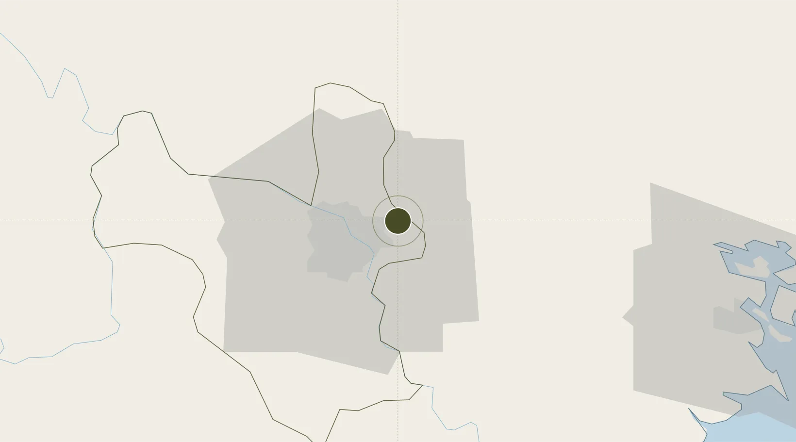
21.0715°, 105.9528°
63 ha
Zone area
77.8 km
Nearest port
7.7 km
Nearest airport

Gateway access

Nearest neighbours — logibook spatial index (haversine) over the source coordinates

Zone profile

Zone type
Export Processing Zone
Open Zone Map
Region
Ha Noi
Open Zone Map
Status
Active
Open Zone Map
Management
Public-Private Partnership
Open Zone Map
Operator
Vietnam Urban And Industrial Zone Investment Development Corporation
Open Zone Map
Legal framework
Decree No.82/2018/ND-CP on Management of Industrial Parks and Economic Zones, Decree No 218/2013/ND-CP
Open Zone Map

Location

Location of ozm-5155
Natural Earth 10m (public domain) · Ha Noi · ozm-5155 · 21.07, 105.95GoogleOSMYandex

Nearby Logistics Neighbours

Ports
  1. 1Hai Phong78 km
  2. 2Hon Gai116 km
  3. 3Cam Pha147 km
  4. 4Nghe Tinh257 km
  5. 5Fang-Cheng259 km
Nearest neighbours — logibook spatial index (haversine) over the source coordinates
Airports
  1. 1Gia Lam Air Base8 km
  2. 2Noi Bai International Airport23 km
  3. 3Cat Bi International Airport85 km
  4. 4Tho Xuan Airport140 km
  5. 5Van Don International Airport152 km
Nearest neighbours — logibook spatial index (haversine) over the source coordinates
Cities
  1. 1Hanoi7 km
  2. 2Luong Tai22 km
  3. 3Hoa Mac49 km
  4. 4Thái Nguyên54 km
  5. 5Hoa Lac54 km
Nearest neighbours — logibook spatial index (haversine) over the source coordinates
Trade Zones
  1. 1Vsip Bac Ninh Industrial Zone2 km
  2. 2Hanoi - Đại Từ Industrial Park6 km
  3. 3Đại Từ Industrial Zone6 km
  4. 4Đại Đồng - Hoàn Sơn Industrial Zone6 km
  5. 5Hanaka Industrial Estate6 km
Nearest neighbours — logibook spatial index (haversine) over the source coordinates
DatabookThe Record of Consolidated Knowledge
Vietnam beyond logistics?
Browse databook

All Sources

Trade ZonesOpen Zone Map
CC BY
Portsthe NGA World Port Index
Public domain (US gov)
AirportsOurAirports
Public domain
LocationsUN/LOCODE
UN/LOCODE — free
← Vietnam trade zones