Export Processing Zone · Vietnam

Hưng Yên - Như Quỳnh A Industrial Estate Under Development
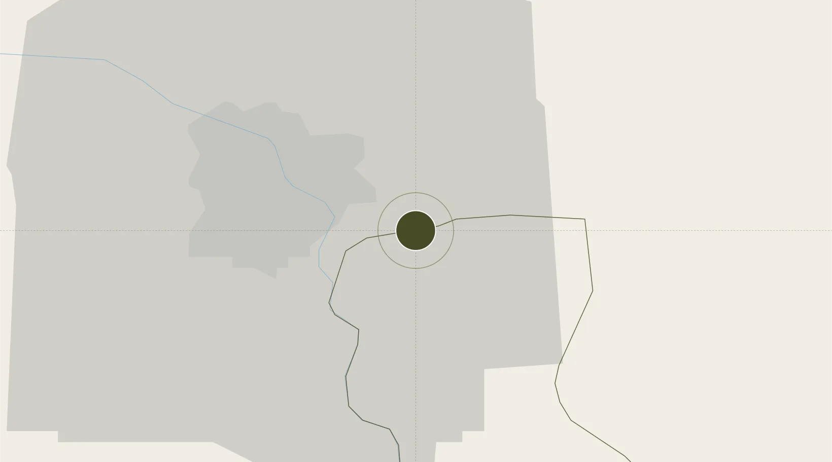
20.9864°, 105.9823°
50 ha
Zone area
73.2 km
Nearest port
11.7 km
Nearest airport

Gateway access

Nearest neighbours — logibook spatial index (haversine) over the source coordinates

Zone profile

Zone type
Export Processing Zone
Open Zone Map
Region
Đồng Bằng Sông Hồng
Open Zone Map
Status
Under Development
Open Zone Map
Management
Public
Open Zone Map
Operator
Hung Yen IZ Management Board
Open Zone Map
Legal framework
Decree No.82/2018/ND-CP on Management of Industrial Parks and Economic Zones, Decree No 218/2013/ND-CP
Open Zone Map

Location

Location of ozm-5147
Natural Earth 10m (public domain) · Đồng Bằng Sông Hồng · ozm-5147 · 20.99, 105.98GoogleOSMYandex

Nearby Logistics Neighbours

Ports
  1. 1Hai Phong73 km
  2. 2Hon Gai113 km
  3. 3Cam Pha144 km
  4. 4Nghe Tinh248 km
  5. 5Fang-Cheng260 km
Nearest neighbours — logibook spatial index (haversine) over the source coordinates
Airports
  1. 1Gia Lam Air Base12 km
  2. 2Noi Bai International Airport32 km
  3. 3Cat Bi International Airport79 km
  4. 4Tho Xuan Airport132 km
  5. 5Van Don International Airport150 km
Nearest neighbours — logibook spatial index (haversine) over the source coordinates
Cities
  1. 1Hanoi16 km
  2. 2Luong Tai16 km
  3. 3Hoa Mac39 km
  4. 4Phu Lý51 km
  5. 5Gia Lam53 km
Nearest neighbours — logibook spatial index (haversine) over the source coordinates
Trade Zones
  1. 1Nhu Quynh B Industrial Estate0 km
  2. 2Pho Noi A Industrial Zone6 km
  3. 3Hanoi - Đại Từ Industrial Park8 km
  4. 4Đại Từ Industrial Zone8 km
  5. 5Sai Dong B Industrial Park9 km
Nearest neighbours — logibook spatial index (haversine) over the source coordinates
DatabookThe Record of Consolidated Knowledge
Vietnam beyond logistics?
Browse databook

All Sources

Trade ZonesOpen Zone Map
CC BY
Portsthe NGA World Port Index
Public domain (US gov)
AirportsOurAirports
Public domain
LocationsUN/LOCODE
UN/LOCODE — free
← Vietnam trade zones