Diversified Zone · Vietnam

Cộng Hòa (Phase 2) Industrial Zone Active
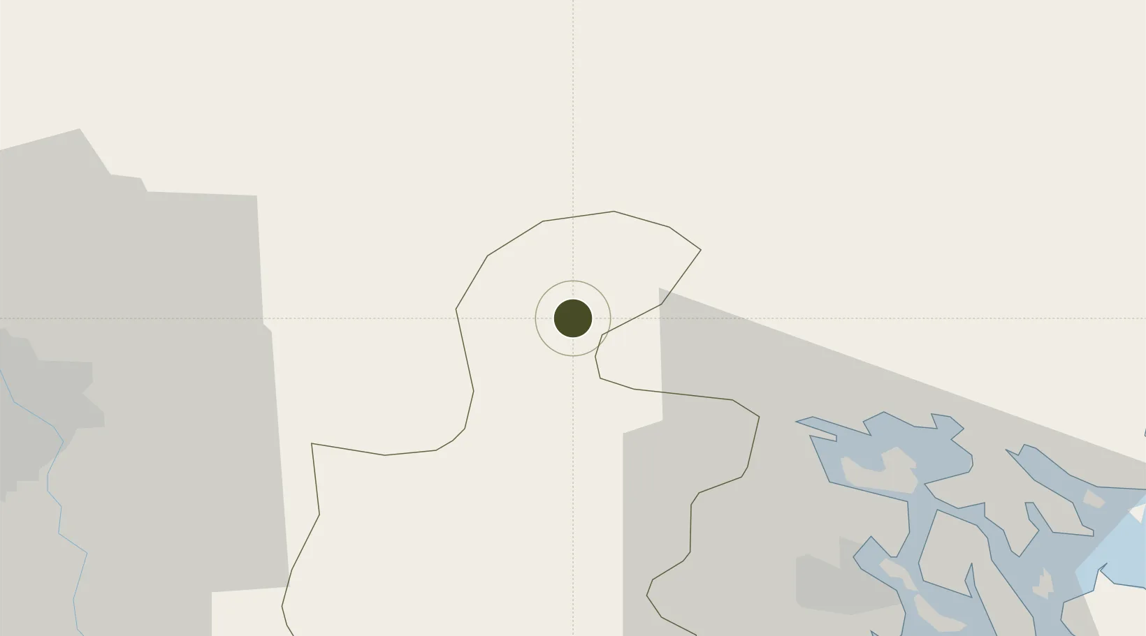
21.1246°, 106.4165°
328 ha
Zone area
36.1 km
Nearest port
46.8 km
Nearest airport

Gateway access

Nearest neighbours — logibook spatial index (haversine) over the source coordinates

Zone profile

Zone type
Diversified Zone
Open Zone Map
Region
Hải Dương
Open Zone Map
Status
Active
Open Zone Map
Management
Private
Open Zone Map
Operator
Vietnam Rubber Urban & IZ Development JSC
Open Zone Map
Legal framework
Decree No.82/2018/ND-CP on Management of Industrial Parks and Economic Zones, Decree No 218/2013/ND-CP
Open Zone Map

Location

Location of ozm-5031
Natural Earth 10m (public domain) · Hải Dương · ozm-5031 · 21.12, 106.42GoogleOSMYandex

Nearby Logistics Neighbours

Ports
  1. 1Hai Phong36 km
  2. 2Hon Gai70 km
  3. 3Cam Pha99 km
  4. 4Fang-Cheng212 km
  5. 5Qinzhou234 km
Nearest neighbours — logibook spatial index (haversine) over the source coordinates
Airports
  1. 1Cat Bi International Airport47 km
  2. 2Gia Lam Air Base56 km
  3. 3Noi Bai International Airport64 km
  4. 4Van Don International Airport104 km
  5. 5Baihe Ningming Air Base133 km
Nearest neighbours — logibook spatial index (haversine) over the source coordinates
Cities
  1. 1Gia Lam10 km
  2. 2Vat Cach33 km
  3. 3Luong Tai34 km
  4. 4Cua Cam Terminal40 km
  5. 5Doan Xa Terminal40 km
Nearest neighbours — logibook spatial index (haversine) over the source coordinates
Trade Zones
  1. 1Cộng Hòa (Phase 1) Industrial Zone2 km
  2. 2Lai Vu Industrial Zone16 km
  3. 3Nam Sach Industrial Zone18 km
  4. 4Kim Thành Industrial Zone19 km
  5. 5Que Vo Ii Industrial Zone20 km
Nearest neighbours — logibook spatial index (haversine) over the source coordinates
DatabookThe Record of Consolidated Knowledge
Vietnam beyond logistics?
Browse databook

All Sources

Trade ZonesOpen Zone Map
CC BY
Portsthe NGA World Port Index
Public domain (US gov)
AirportsOurAirports
Public domain
LocationsUN/LOCODE
UN/LOCODE — free
← Vietnam trade zones