Export Processing Zone · Vietnam

Nam Sach Industrial Zone Active
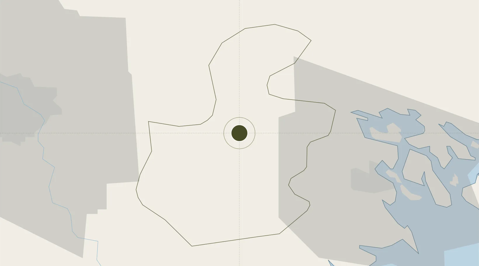
20.9698°, 106.3723°
63 ha
Zone area
32.8 km
Nearest port
40.3 km
Nearest airport

Gateway access

Nearest neighbours — logibook spatial index (haversine) over the source coordinates

Zone profile

Zone type
Export Processing Zone
Open Zone Map
Region
Hải Dương
Open Zone Map
Status
Active
Open Zone Map
Management
Public-Private Partnership
Open Zone Map
Operator
VID Group, Hai Duong Industrial Zones Authority
Open Zone Map
Legal framework
Decree No.82/2018/ND-CP on Management of Industrial Parks and Economic Zones, Decree No 218/2013/ND-CP
Open Zone Map

Location

Location of ozm-5152
Natural Earth 10m (public domain) · Hải Dương · ozm-5152 · 20.97, 106.37GoogleOSMYandex

Nearby Logistics Neighbours

Ports
  1. 1Hai Phong33 km
  2. 2Hon Gai72 km
  3. 3Cam Pha104 km
  4. 4Fang-Cheng222 km
  5. 5Qinzhou244 km
Nearest neighbours — logibook spatial index (haversine) over the source coordinates
Airports
  1. 1Cat Bi International Airport40 km
  2. 2Gia Lam Air Base51 km
  3. 3Noi Bai International Airport65 km
  4. 4Van Don International Airport110 km
  5. 5Baihe Ningming Air Base150 km
Nearest neighbours — logibook spatial index (haversine) over the source coordinates
Cities
  1. 1Gia Lam16 km
  2. 2Luong Tai25 km
  3. 3Vat Cach26 km
  4. 4Cua Cam Terminal34 km
  5. 5Doan Xa Terminal34 km
Nearest neighbours — logibook spatial index (haversine) over the source coordinates
Trade Zones
  1. 1Lai Vu Industrial Zone3 km
  2. 2Dai An Industrial Zone12 km
  3. 3Đại An Expansion Industrial Zone13 km
  4. 4Kim Thành Industrial Zone13 km
  5. 5Tan Truong Industrial Zone16 km
Nearest neighbours — logibook spatial index (haversine) over the source coordinates
DatabookThe Record of Consolidated Knowledge
Vietnam beyond logistics?
Browse databook

All Sources

Trade ZonesOpen Zone Map
CC BY
Portsthe NGA World Port Index
Public domain (US gov)
AirportsOurAirports
Public domain
LocationsUN/LOCODE
UN/LOCODE — free
← Vietnam trade zones