Diversified Zone · Vietnam

Kim Thành Industrial Zone Active
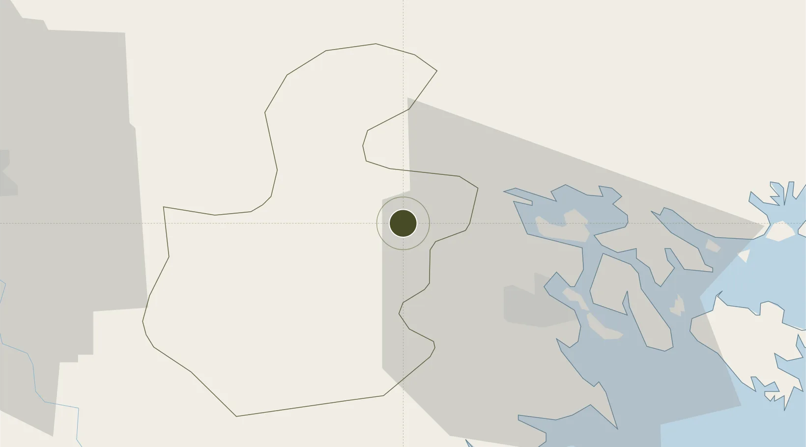
20.9743°, 106.4972°
165 ha
Zone area
20.4 km
Nearest port
29.3 km
Nearest airport

Gateway access

Nearest neighbours — logibook spatial index (haversine) over the source coordinates

Zone profile

Zone type
Diversified Zone
Open Zone Map
Region
Hải Dương
Open Zone Map
Status
Active
Open Zone Map
Management
Public-Private Partnership
Open Zone Map
Operator
Coma 18 JSC, Hanoi Industrial and Export Processing Zones Authority (HIZA)
Open Zone Map
Legal framework
Decree No.82/2018/ND-CP on Management of Industrial Parks and Economic Zones, Decree No 218/2013/ND-CP
Open Zone Map

Location

Location of ozm-5057
Natural Earth 10m (public domain) · Hải Dương · ozm-5057 · 20.97, 106.50GoogleOSMYandex

Nearby Logistics Neighbours

Ports
  1. 1Hai Phong20 km
  2. 2Hon Gai59 km
  3. 3Cam Pha91 km
  4. 4Fang-Cheng210 km
  5. 5Qinzhou232 km
Nearest neighbours — logibook spatial index (haversine) over the source coordinates
Airports
  1. 1Cat Bi International Airport29 km
  2. 2Gia Lam Air Base64 km
  3. 3Noi Bai International Airport77 km
  4. 4Van Don International Airport97 km
  5. 5Baihe Ningming Air Base143 km
Nearest neighbours — logibook spatial index (haversine) over the source coordinates
Cities
  1. 1Gia Lam10 km
  2. 2Vat Cach15 km
  3. 3Cua Cam Terminal23 km
  4. 4Doan Xa Terminal23 km
  5. 5Transvina Terminal23 km
Nearest neighbours — logibook spatial index (haversine) over the source coordinates
Trade Zones
  1. 1Lai Vu Industrial Zone11 km
  2. 2Nomura Industrial Zone13 km
  3. 3Nam Sach Industrial Zone13 km
  4. 4Cộng Hòa (Phase 2) Industrial Zone19 km
  5. 5Cộng Hòa (Phase 1) Industrial Zone20 km
Nearest neighbours — logibook spatial index (haversine) over the source coordinates
DatabookThe Record of Consolidated Knowledge
Vietnam beyond logistics?
Browse databook

All Sources

Trade ZonesOpen Zone Map
CC BY
Portsthe NGA World Port Index
Public domain (US gov)
AirportsOurAirports
Public domain
LocationsUN/LOCODE
UN/LOCODE — free
← Vietnam trade zones