Medium airport · Afghanistan

Khost International AirportOAKS
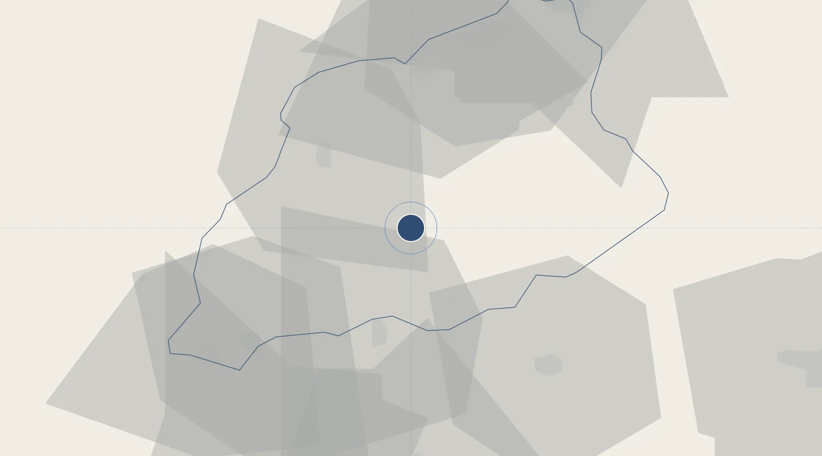
33.2846°, 69.8073°
8,740 ft
Longest runway
1
Runways
4,204 ft
Elevation

Runway & Layout

Khost International Airport runway & taxiway layout
Runway & taxiway layout — OpenStreetMap (ODbL) / OurAirports

Runways · 1

RunwayDimensions SurfaceTrue headingLit
06/24 8,740 × 148ft Asphalt
OurAirports

Airport Specifications

IATA code
KHT
OurAirports
ICAO code
OAKS
OurAirports
Airport class
Medium airport
OurAirports
Scheduled service
Yes
OurAirports
Runway surface
Asphalt
OurAirports
Served city
Khost
OurAirports

Location

Location of OAKS
Natural Earth 10m (public domain) · Khost · OAKS · 33.28, 69.81GoogleOSMYandex

Nearby Logistics Neighbours

Airports
  1. 1Salerno South Airport15 km
  2. 2Jalalabad Airport140 km
  3. 3Kabul International Airport153 km
  4. 4Bacha Khan International Airport177 km
  5. 5Mianwali Air Base183 km
Nearest neighbours — logibook spatial index (haversine) over the source coordinates
Cities
  1. 1Sharona40 km
  2. 2Hayatabad205 km
  3. 3Qasim251 km
  4. 4Torkham263 km
  5. 5Qalat304 km
Nearest neighbours — logibook spatial index (haversine) over the source coordinates
Ports
  1. 1Muhamamad Bin Qasim977 km
  2. 2Karachi984 km
  3. 3Kandla1141 km
  4. 4Navlakhi1150 km
  5. 5Gwadar1162 km
Nearest neighbours — logibook spatial index (haversine) over the source coordinates
Trade Zones
  1. 1Gardez Special Economic Zone65 km
  2. 2Nangarhar Special Economic Zone139 km
  3. 3Jalalabad Special Economic Zone139 km
  4. 4Kabul Special Economic Zone153 km
  5. 5Mohmand Marble City177 km
Nearest neighbours — logibook spatial index (haversine) over the source coordinates
DatabookThe Record of Consolidated Knowledge
Afghanistan beyond logistics?
Browse databook

All Sources

AirportsOurAirports
Public domain
Portsthe NGA World Port Index
Public domain (US gov)
LocationsUN/LOCODE
UN/LOCODE — free
Trade Zonesthe World Bank SEZ database
CC BY 4.0
Trade ZonesOpen Zone Map
CC BY
InfrastructureOpenStreetMap
ODbL 1.0
← Afghanistan airports