Transport Functions
Rail
Road
Multimodal
Hub Profile
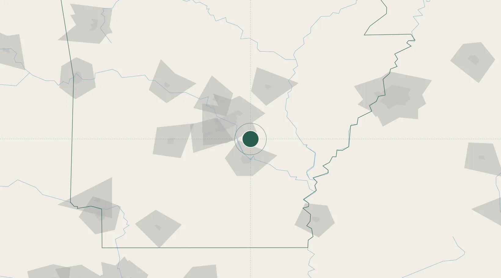
Place type
Populated place
Region
Arkansas
Population
2,765
Time zone
America/Chicago
Elevation
70 m
Location
Nearby Logistics Neighbours
Ports
- 1Port Of Memphis175 km
- 2Baton Rouge460 km
- 3Madisonville490 km
- 4Lake Charles495 km
- 5Convent513 km
Airports
Trade Zones
- 1FTZ No. 014 Little Rock29 km
- 2FTZ No. 287 Tunica County119 km
- 3FTZ No. 077 Memphis170 km
- 4FTZ No. 273 West Memphis176 km
- 5FTZ No. 223 Memphis182 km
DatabookThe Record of Consolidated Knowledge
United States beyond logistics?