Transport Functions
Port
Rail
Road
Multimodal
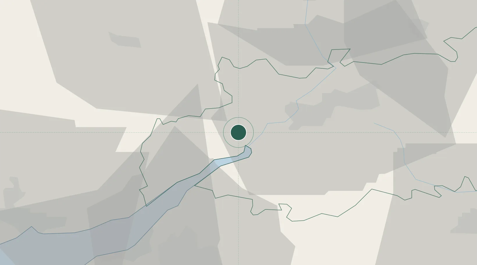
Hub Profile
Place type
Populated place
Region
England
Time zone
Europe/London
Elevation
13 m
Location
Nearby Logistics Neighbours
Cities
- 1Ruardean9 km
- 2Quedgeley9 km
- 3Newent13 km
- 4Lydney13 km
- 5Woodchester17 km
Airports
- 1Gloucestershire Airport19 km
- 2RAF Fairford46 km
- 3Bristol Airport53 km
- 4RAF Brize Norton58 km
- 5London Oxford Airport75 km
Trade Zones
DatabookThe Record of Consolidated Knowledge
United Kingdom beyond logistics?