Transport Functions
Road
Multimodal
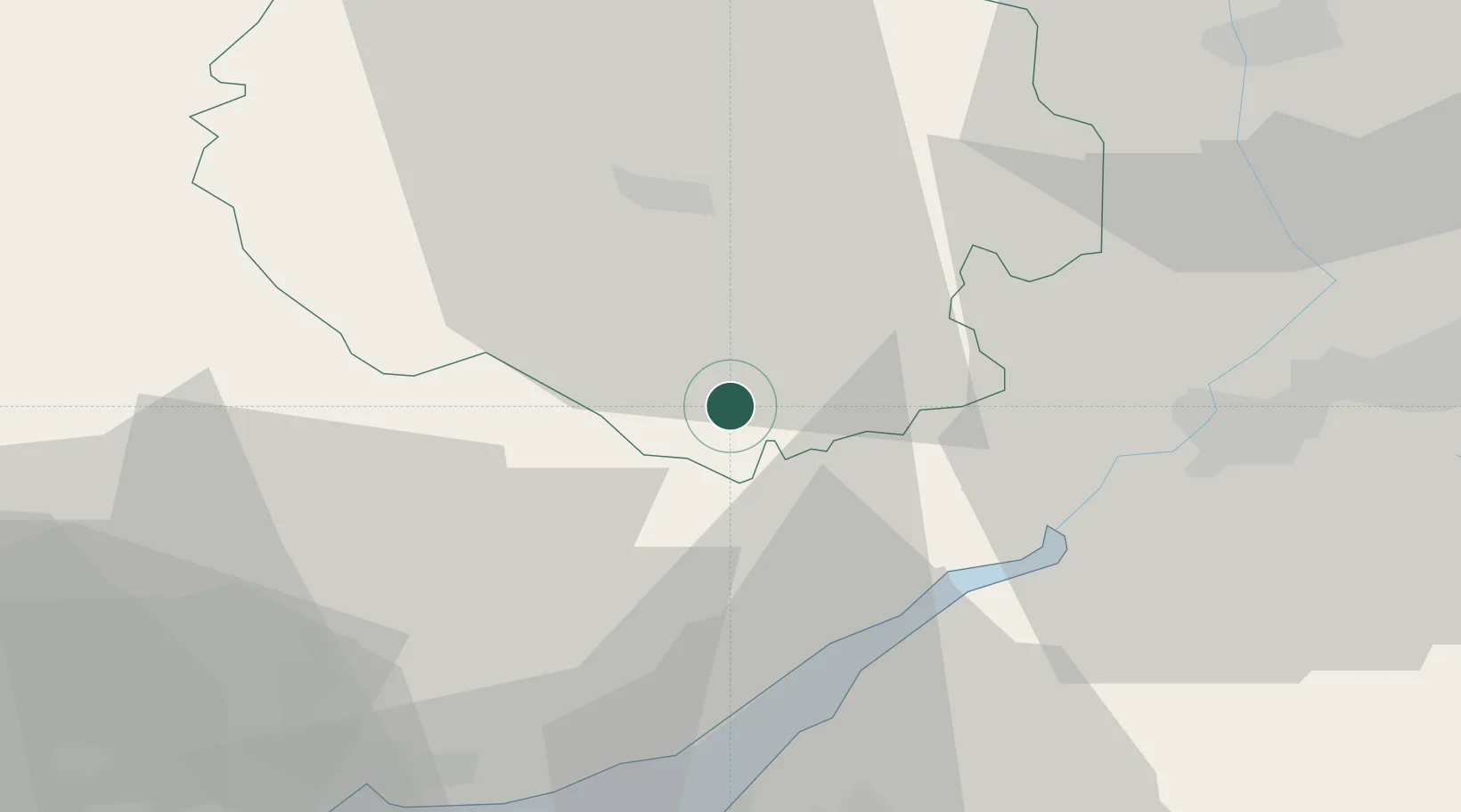
Hub Profile
Place type
Populated place
Region
England
Time zone
Europe/London
Elevation
63 m
Location
Nearby Logistics Neighbours
Cities
- 1Ruardean10 km
- 2Hampton Bishop17 km
- 3Newent18 km
- 4Westbury on Severn19 km
- 5Woolaston21 km
Airports
- 1Gloucestershire Airport34 km
- 2Bristol Airport56 km
- 3RAF Fairford64 km
- 4Cardiff International Airport72 km
- 5MOD St Athan75 km
Trade Zones
DatabookThe Record of Consolidated Knowledge
United Kingdom beyond logistics?