UN/LOCODE hub · United Kingdom
GBRDX
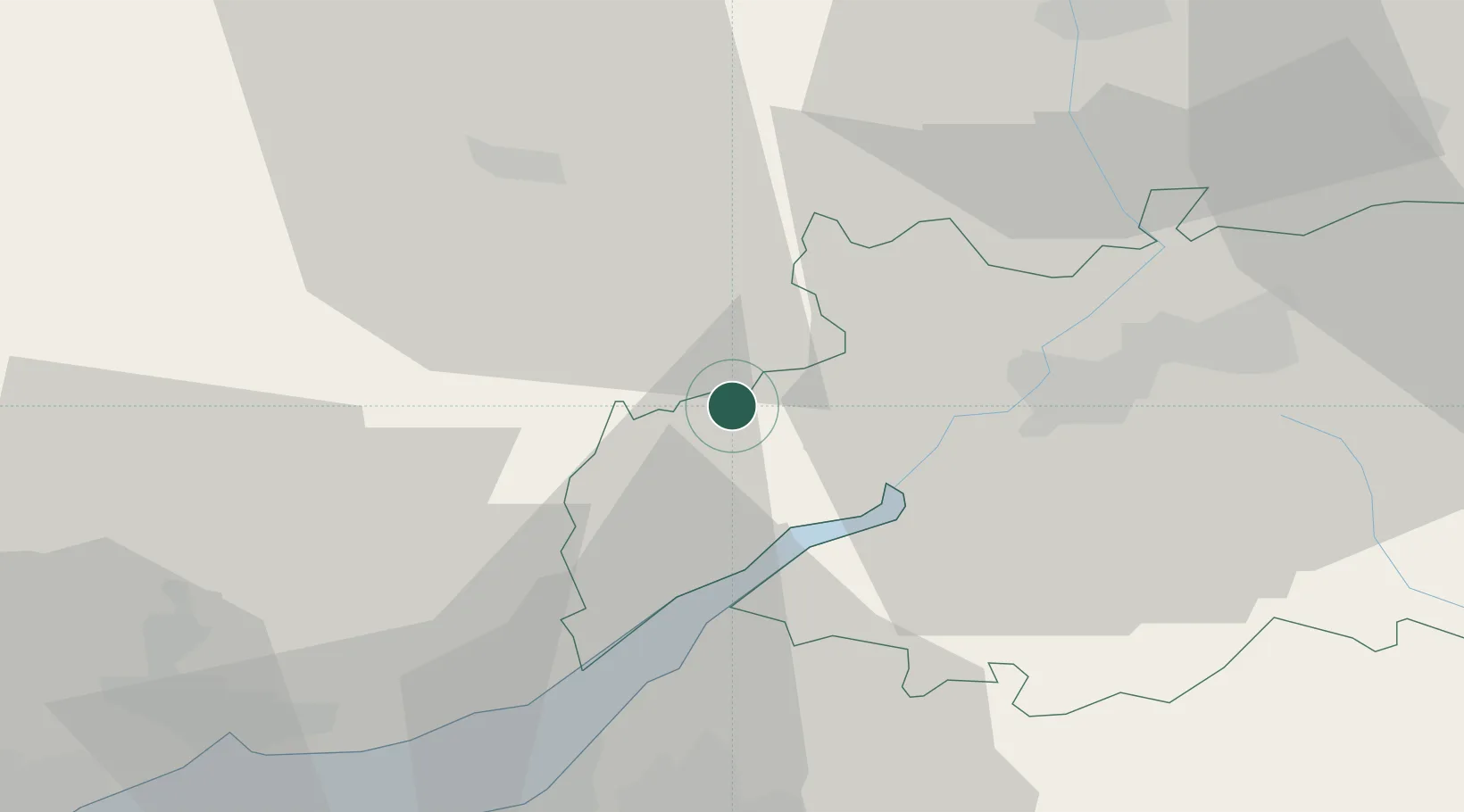
Ruardean
51.8500°, -2.5333°
1,849
Population
1
Transport functions
Transport Functions
Multimodal
Hub Profile
Place type
Populated place
Region
England
Population
1,849
Time zone
Europe/London
Elevation
217 m
Location
Nearby Logistics Neighbours
Cities
- 1Westbury on Severn9 km
- 2Llangarron10 km
- 3Newent12 km
- 4Lydney15 km
- 5Woolaston17 km
Airports
- 1Gloucestershire Airport26 km
- 2Bristol Airport54 km
- 3RAF Fairford55 km
- 4RAF Brize Norton66 km
- 5Cardiff International Airport75 km
Trade Zones
DatabookThe Record of Consolidated Knowledge
United Kingdom beyond logistics?