Specialized Zone · United Arab Emirates

Dubai Gold and Diamond Park Active
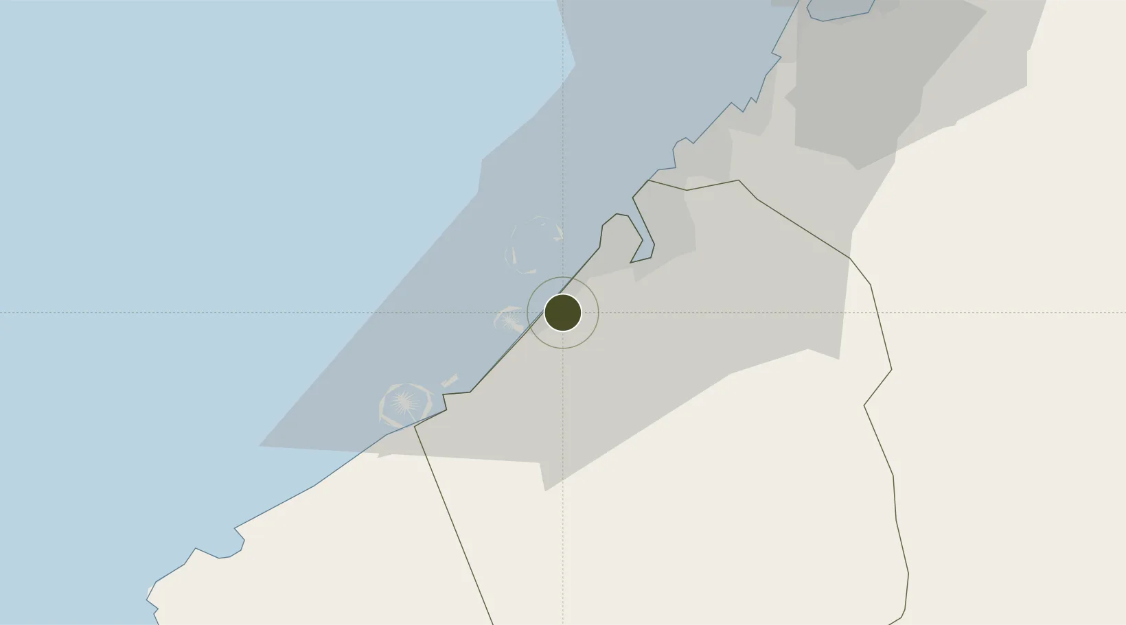
25.1257°, 55.2089°
5 ha
Zone area
18.2 km
Nearest port
19.3 km
Nearest airport

Gateway access

Nearest neighbours — logibook spatial index (haversine) over the source coordinates

Zone profile

Zone type
Specialized Zone
Open Zone Map
Specialization
Manufacturing
Open Zone Map
Region
Dubay
Open Zone Map
Status
Active
Open Zone Map
Management
Public
Open Zone Map
Operator
Emaar Properties PJSC
Open Zone Map
Legal framework
Federal Law No. 8 of 2004 Concerning Financial Free Zones
Open Zone Map

Location

Location of ozm-4662
Natural Earth 10m (public domain) · Dubay · ozm-4662 · 25.13, 55.21GoogleOSMYandex

Nearby Logistics Neighbours

Ports
  1. 1Dubayy18 km
  2. 2Mina Jabal Ali20 km
  3. 3Ash Shariqah32 km
  4. 4Ajman39 km
  5. 5Al Hamriyah Lpg Terminal47 km
Nearest neighbours — logibook spatial index (haversine) over the source coordinates
Airports
  1. 1Al Minhad Air Base19 km
  2. 2Dubai International Airport21 km
  3. 3Al Maktoum International Airport26 km
  4. 4Sharjah International Airport38 km
  5. 5Abu Musa Island Airport85 km
Nearest neighbours — logibook spatial index (haversine) over the source coordinates
Cities
  1. 1Dubai7 km
  2. 2Free Port14 km
  3. 3Jebel Ali Industrial Area17 km
  4. 4Mina Rashid Port17 km
  5. 5Jebel Ali Free Zone21 km
Nearest neighbours — logibook spatial index (haversine) over the source coordinates
Trade Zones
  1. 1Dubai Knowledge Park5 km
  2. 2Dubai Internet City (DIC)6 km
  3. 3Dubai Science Park7 km
  4. 4Dubai Media City7 km
  5. 5Dubai Multi Commodities Centre or Jumeirah Lakes Towers Free Zone10 km
Nearest neighbours — logibook spatial index (haversine) over the source coordinates
DatabookThe Record of Consolidated Knowledge
United Arab Emirates beyond logistics?
Browse databook

All Sources

Trade ZonesOpen Zone Map
CC BY
Portsthe NGA World Port Index
Public domain (US gov)
AirportsOurAirports
Public domain
LocationsUN/LOCODE
UN/LOCODE — free
← United Arab Emirates trade zones