Specialized Zone · United Arab Emirates

Dubai Academic City Active
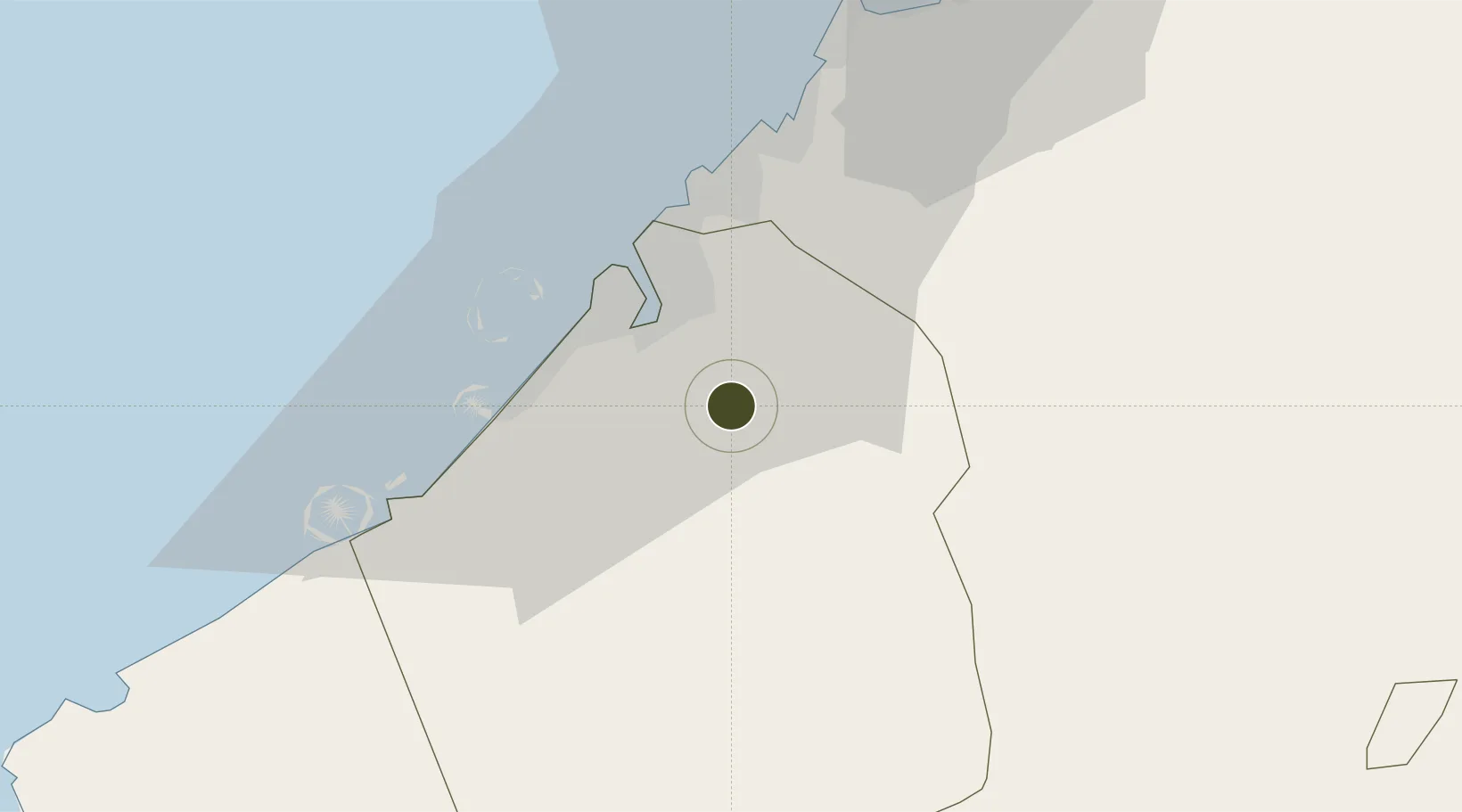
25.1120°, 55.4073°
1,198 ha
Zone area
20.3 km
Nearest port
10.3 km
Nearest airport

Gateway access

Nearest neighbours — logibook spatial index (haversine) over the source coordinates

Zone profile

Zone type
Specialized Zone
Open Zone Map
Specialization
Education
Open Zone Map
Region
Dubay
Open Zone Map
Status
Active
Open Zone Map
Management
Public
Open Zone Map
Operator
TECOM Group
Open Zone Map
Legal framework
Federal Law No. 8 of 2004 concerning Financial Free Zones
Open Zone Map

Location

Location of ozm-4652
Natural Earth 10m (public domain) · Dubay · ozm-4652 · 25.11, 55.41GoogleOSMYandex

Nearby Logistics Neighbours

Ports
  1. 1Dubayy20 km
  2. 2Ash Shariqah28 km
  3. 3Ajman34 km
  4. 4Mina Jabal Ali38 km
  5. 5Al Hamriyah Lpg Terminal40 km
Nearest neighbours — logibook spatial index (haversine) over the source coordinates
Airports
  1. 1Al Minhad Air Base10 km
  2. 2Dubai International Airport16 km
  3. 3Sharjah International Airport27 km
  4. 4Al Maktoum International Airport34 km
  5. 5Ras Al Khaimah International Airport77 km
Nearest neighbours — logibook spatial index (haversine) over the source coordinates
Cities
  1. 1Al Aweer16 km
  2. 2Mina Rashid Port21 km
  3. 3Dubai22 km
  4. 4Free Port22 km
  5. 5Hamriya Free Zone Port23 km
Nearest neighbours — logibook spatial index (haversine) over the source coordinates
Trade Zones
  1. 1Dubai Outsource Zone2 km
  2. 2Dubai Silicon Oasis3 km
  3. 3Dubai Textile City6 km
  4. 4Dubai Car and Automotive City Free Zone (DUCAMZ)8 km
  5. 5Dubai Design District (d3)14 km
Nearest neighbours — logibook spatial index (haversine) over the source coordinates
DatabookThe Record of Consolidated Knowledge
United Arab Emirates beyond logistics?
Browse databook

All Sources

Trade ZonesOpen Zone Map
CC BY
Portsthe NGA World Port Index
Public domain (US gov)
AirportsOurAirports
Public domain
LocationsUN/LOCODE
UN/LOCODE — free
← United Arab Emirates trade zones