Transport Functions
Rail
Road
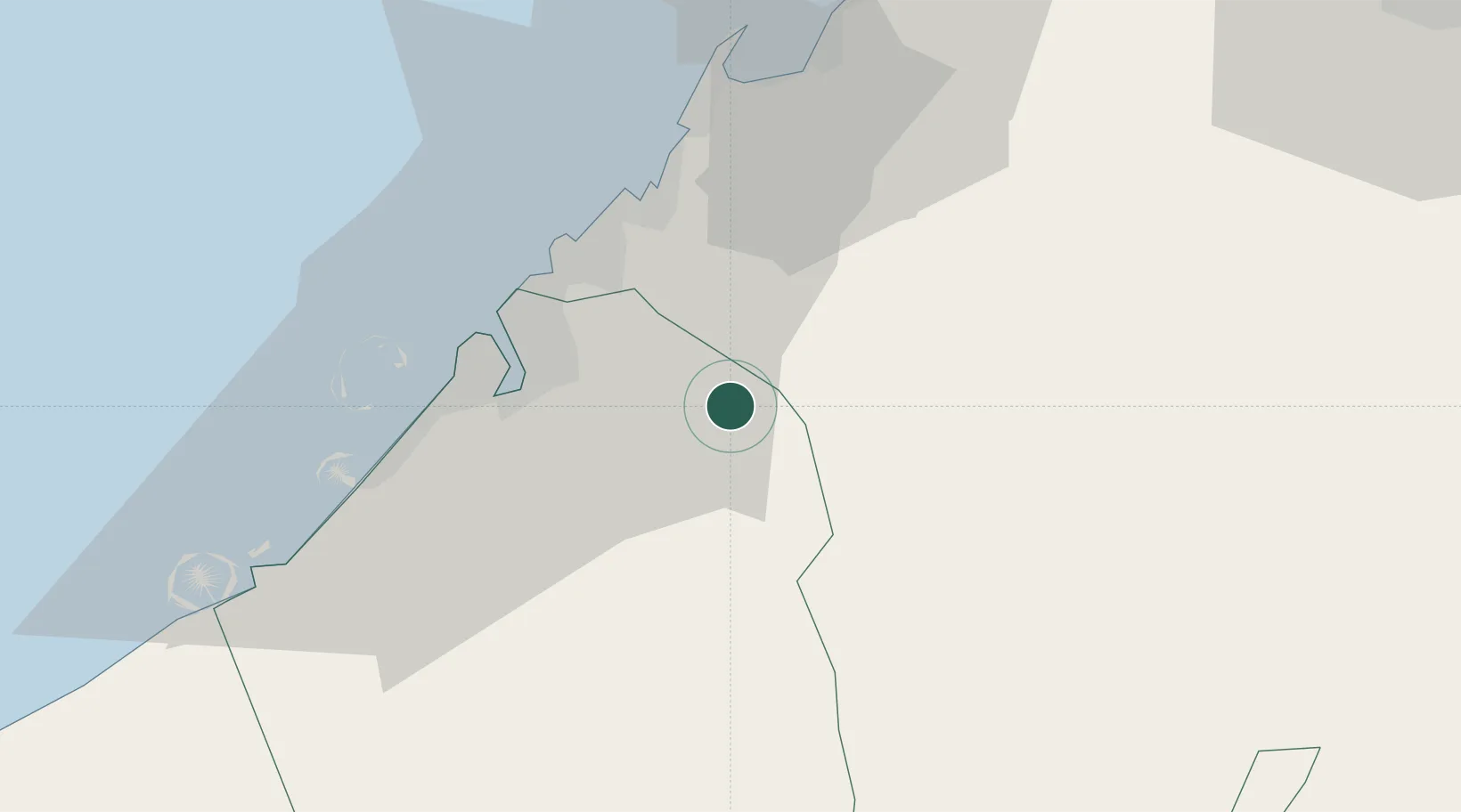
Hub Profile
Region
DU
Location
Nearby Logistics Neighbours
Cities
- 1Ras Al Khor11 km
- 2Saif Zone18 km
- 3Sharjah21 km
- 4Mina Khalid26 km
- 5Hamriya Free Zone Port27 km
Ports
- 1Ash Shariqah26 km
- 2Dubayy27 km
- 3Ajman29 km
- 4Al Hamriyah Lpg Terminal32 km
- 5Umm Al Qaywayn45 km
Airports
Trade Zones
DatabookThe Record of Consolidated Knowledge
United Arab Emirates beyond logistics?