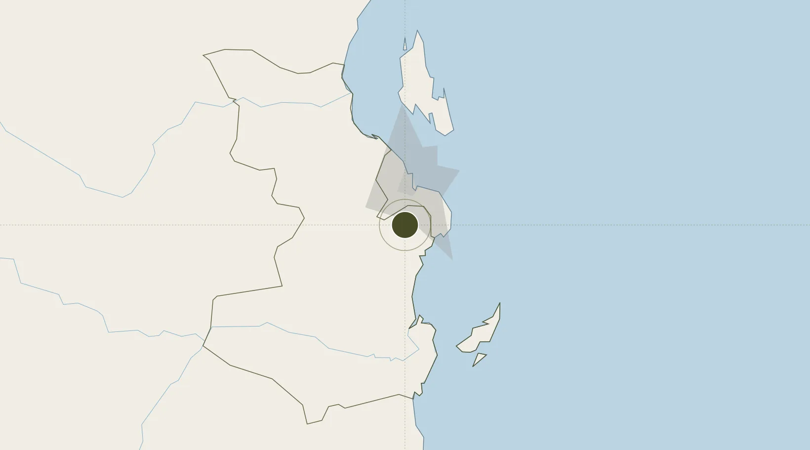
Export Processing Zone · Tanzania

Mkiu Industrial Park Active

-7.0913°, 39.2257°
465 ha
Zone area
31.6 km
Nearest port
24.3 km
Nearest airport

Gateway access

Nearest neighbours — logibook spatial index (haversine) over the source coordinates

Zone profile

Zone type
Export Processing Zone
Open Zone Map
Region
Pwani
Open Zone Map
Status
Active
Open Zone Map
Management
Private
Open Zone Map
Operator
Wangkang Holding Group Co. Ltd
Open Zone Map
Legal framework
Special Economic Zones Act of 2006
Open Zone Map

Location

Location of ozm-4413
Natural Earth 10m (public domain) · Pwani · ozm-4413 · -7.09, 39.23GoogleOSMYandex

Nearby Logistics Neighbours

Ports
  1. 1Dar Es Salaam32 km
  2. 2Zanzibar103 km
  3. 3Kilwa Kivinje184 km
  4. 4Tanga224 km
  5. 5Mombasa340 km
Nearest neighbours — logibook spatial index (haversine) over the source coordinates
Airports
  1. 1Julius Nyerere International Airport24 km
  2. 2Abeid Amani Karume International Airport97 km
  3. 3Mafia Airport104 km
  4. 4Pemba Airport214 km
  5. 5Tanga Airport223 km
Nearest neighbours — logibook spatial index (haversine) over the source coordinates
Cities
  1. 1African Inland Container Depot29 km
  2. 2Dar es Salaam29 km
  3. 3Kibaha50 km
  4. 4Ikwiriri102 km
  5. 5Zanzibar104 km
Nearest neighbours — logibook spatial index (haversine) over the source coordinates
Trade Zones
  1. 1Global Industrial Park Export Processing Zone8 km
  2. 2Visegese Industrial Park25 km
  3. 3Vigor Special Economic Zone26 km
  4. 4Tungi Special Economic Zone29 km
  5. 5Kurasini Trade and Logistics Centre29 km
Nearest neighbours — logibook spatial index (haversine) over the source coordinates
DatabookThe Record of Consolidated Knowledge
Tanzania beyond logistics?
Browse databook

All Sources

Trade ZonesOpen Zone Map
CC BY
Portsthe NGA World Port Index
Public domain (US gov)
AirportsOurAirports
Public domain
LocationsUN/LOCODE
UN/LOCODE — free
← Tanzania trade zones