Export Processing Zone · Tanzania
Tungi Special Economic Zone Under Development
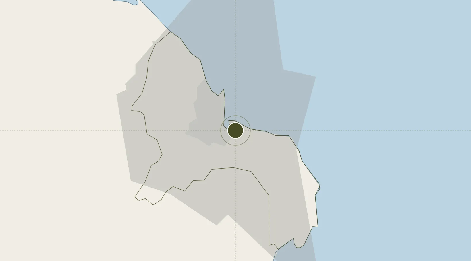
-6.8435°, 39.3135°
54 ha
Zone area
3.3 km
Nearest port
12.2 km
Nearest airport
Gateway access
Zone profile
Zone type
Export Processing Zone
Region
Dar-Es-Salaam
Status
Under Development
Management
Private
Operator
Tungi Estate, Contitrades
Legal framework
Special Economic Zones Act of 2006
Location
Nearby Logistics Neighbours
Ports
- 1Dar Es Salaam3 km
- 2Zanzibar77 km
- 3Tanga197 km
- 4Kilwa Kivinje210 km
- 5Mombasa311 km
Airports
- 1Julius Nyerere International Airport12 km
- 2Abeid Amani Karume International Airport70 km
- 3Mafia Airport126 km
- 4Pemba Airport185 km
- 5Tanga Airport197 km
Cities
- 1Dar es Salaam7 km
- 2African Inland Container Depot9 km
- 3Kibaha45 km
- 4Zanzibar78 km
- 5Ikwiriri131 km
DatabookThe Record of Consolidated Knowledge
Tanzania beyond logistics?