Export Processing Zone · Tanzania
Kurasini Trade and Logistics Centre Under Development
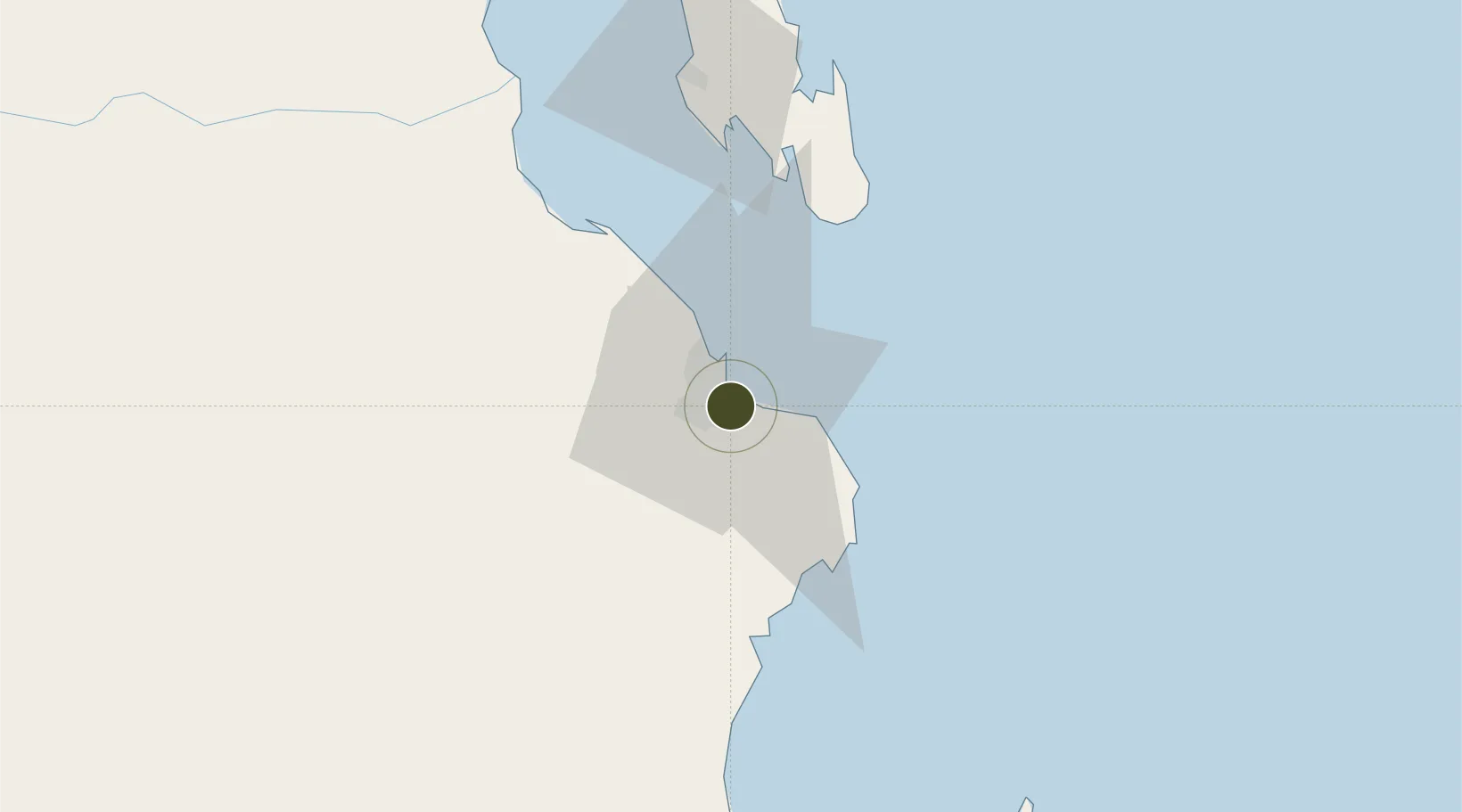
-6.8358°, 39.2896°
60 ha
Zone area
2.4 km
Nearest port
10.0 km
Nearest airport
Gateway access
Zone profile
Zone type
Export Processing Zone
Region
Dar-Es-Salaam
Status
Under Development
Management
Public
Operator
Export Processing Zone Authority
Legal framework
Special Economic Zones Act of 2006
Location
Nearby Logistics Neighbours
Ports
- 1Dar Es Salaam2 km
- 2Zanzibar75 km
- 3Tanga196 km
- 4Kilwa Kivinje212 km
- 5Mombasa311 km
Airports
- 1Julius Nyerere International Airport10 km
- 2Abeid Amani Karume International Airport69 km
- 3Mafia Airport127 km
- 4Pemba Airport185 km
- 5Tanga Airport195 km
Cities
- 1Dar es Salaam4 km
- 2African Inland Container Depot6 km
- 3Kibaha42 km
- 4Zanzibar76 km
- 5Ikwiriri131 km
DatabookThe Record of Consolidated Knowledge
Tanzania beyond logistics?