Transport Functions
Port
Hub Profile
Place type
Populated place
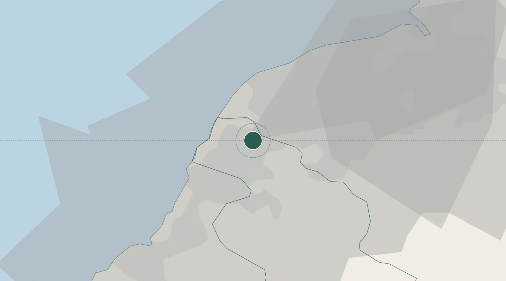
Region
Taiwan
Time zone
Asia/Taipei
Elevation
88 m
Location
Nearby Logistics Neighbours
Ports
- 1Tan-Shui47 km
- 2Chi-Lung77 km
- 3Tai-Chung Kang87 km
- 4Su-Ao89 km
- 5Hua-Lien Kang116 km
Airports
DatabookThe Record of Consolidated Knowledge
Taiwan beyond logistics?