Medium airport · Taiwan

Pingtung Air Force BaseRCDC
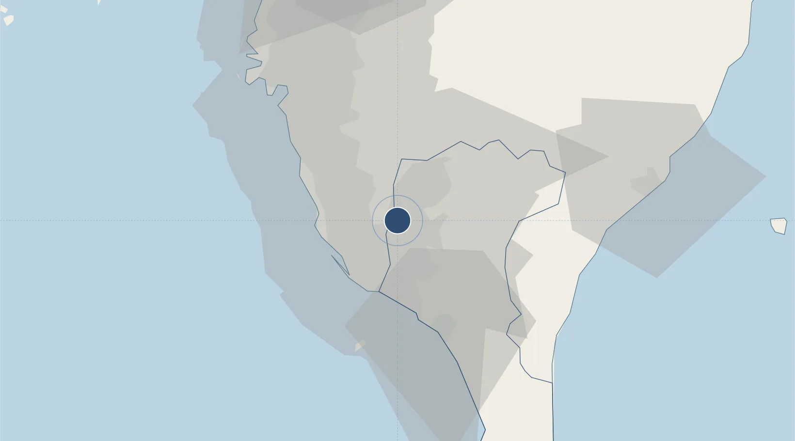
22.6724°, 120.4620°
7,828 ft
Longest runway
1
Runways
78 ft
Elevation

Runway & Layout

Pingtung Air Force Base runway & taxiway layout
Runway & taxiway layout — OpenStreetMap (ODbL) / OurAirports

Radio Frequencies

TWR
126.18 MHz
APP
121.1 MHz
KAOHSIUNG APP
OurAirports

Navaids

PIT TACAN Pingtung South 109.60 MHz
OurAirports

Runways · 1

RunwayDimensions SurfaceTrue headingLit
09/27 7,828 × 148ft Asphalt / concrete 088°
OurAirports

Airport Specifications

ICAO code
RCDC
OurAirports
Airport class
Medium airport
OurAirports
Scheduled service
No
OurAirports
Runway surface
Asphalt / concrete
OurAirports
Served city
Pingtung
OurAirports

Location

Location of RCDC
Natural Earth 10m (public domain) · Pingtung · RCDC · 22.67, 120.46GoogleOSMYandex

Nearby Logistics Neighbours

Airports
  1. 1Pingtung Air Force Base North4 km
  2. 2Kaohsiung International Airport16 km
  3. 3Zuoying Naval Airfield19 km
  4. 4Gangshan Air Force Base24 km
  5. 5Tainan International Airport / Tainan Air Base41 km
Nearest neighbours — logibook spatial index (haversine) over the source coordinates
Cities
  1. 1Kaohsiung18 km
  2. 2Yung-K'Ang44 km
  3. 3Mai-liao58 km
  4. 4Budai86 km
  5. 5Mai-Liai122 km
Nearest neighbours — logibook spatial index (haversine) over the source coordinates
Ports
  1. 1Kao-Hsiung23 km
  2. 2Mailiao127 km
  3. 3Peng-Hu Kang139 km
  4. 4Tai-Chung Kang181 km
  5. 5Hua-Lien Kang186 km
Nearest neighbours — logibook spatial index (haversine) over the source coordinates
Trade Zones
  1. 1Pingtung Export Processing Zone4 km
  2. 2Nantze 2nd Export Processing Zone16 km
  3. 3Linkuang Export Processing Zone18 km
  4. 4Kaohsiung Software-Based Technology Park18 km
  5. 5Kaohsiung Export Processing Zone19 km
Nearest neighbours — logibook spatial index (haversine) over the source coordinates
DatabookThe Record of Consolidated Knowledge
Taiwan beyond logistics?
Browse databook

All Sources

AirportsOurAirports
Public domain
Portsthe NGA World Port Index
Public domain (US gov)
LocationsUN/LOCODE
UN/LOCODE — free
Trade Zonesthe World Bank SEZ database
CC BY 4.0
Trade ZonesOpen Zone Map
CC BY
InfrastructureOpenStreetMap
ODbL 1.0
← Taiwan airports