Diversified Zone · China

Youyang Industrial Park Active
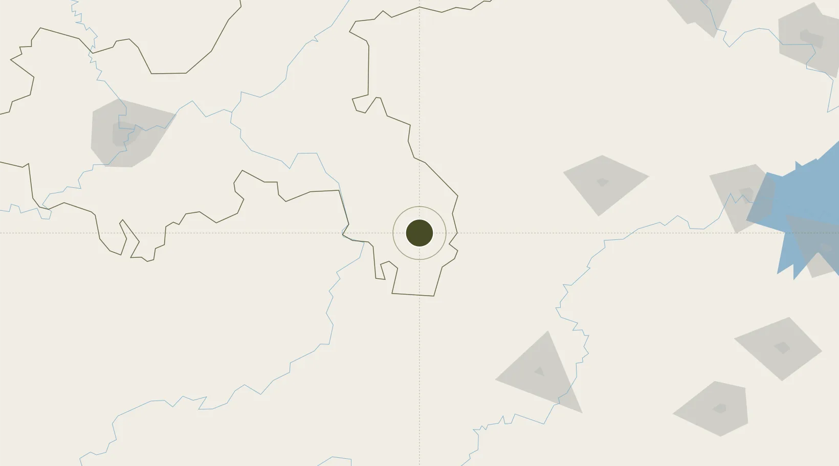
28.7204°, 108.9659°
334 ha
Zone area
553.9 km
Nearest port
59.7 km
Nearest airport

Gateway access

Nearest neighbours — logibook spatial index (haversine) over the source coordinates

Zone profile

Zone type
Diversified Zone
Open Zone Map
Region
Chongqing
Open Zone Map
Status
Active
Open Zone Map
Management
Public
Open Zone Map
Operator
Management Committee of Youyang Industrial Park
Open Zone Map
Legal framework
It was founded in 2002.
Open Zone Map

Location

Location of ozm-436
Natural Earth 10m (public domain) · Chongqing · ozm-436 · 28.72, 108.97GoogleOSMYandex

Nearby Logistics Neighbours

Ports
  1. 1Hankow554 km
  2. 2Guangzhou755 km
  3. 3Huangpu769 km
  4. 4Huangpuxingang777 km
  5. 5Fang-Cheng778 km
Nearest neighbours — logibook spatial index (haversine) over the source coordinates
Airports
  1. 1Xiangxi Biancheng Airport60 km
  2. 2Qianjiang Wulingshan Airport89 km
  3. 3Tongren Fenghuang Airport99 km
  4. 4Tongren Dejiang Airport (Under Construction)103 km
  5. 5Chongqing Xiannüshan Airport149 km
Nearest neighbours — logibook spatial index (haversine) over the source coordinates
Cities
  1. 1Jiangsi55 km
  2. 2Jishou86 km
  3. 3Tongren114 km
  4. 4Zhangjiajie149 km
  5. 5Huaihua165 km
Nearest neighbours — logibook spatial index (haversine) over the source coordinates
Trade Zones
  1. 1Xiushan Industrial Park29 km
  2. 2Guzhang Industrial Concentration Zone73 km
  3. 3Hunan Xiangxi Economic Development Zone89 km
  4. 4Hunan Yongshun Economic Development Zone89 km
  5. 5Jishou Economic Development Zone, Hunan92 km
Nearest neighbours — logibook spatial index (haversine) over the source coordinates
DatabookThe Record of Consolidated Knowledge
China beyond logistics?
Browse databook

All Sources

Trade ZonesOpen Zone Map
CC BY
Portsthe NGA World Port Index
Public domain (US gov)
AirportsOurAirports
Public domain
LocationsUN/LOCODE
UN/LOCODE — free
← China trade zones