Free Trade Zone · China

Hunan Xiangxi Economic Development Zone Active
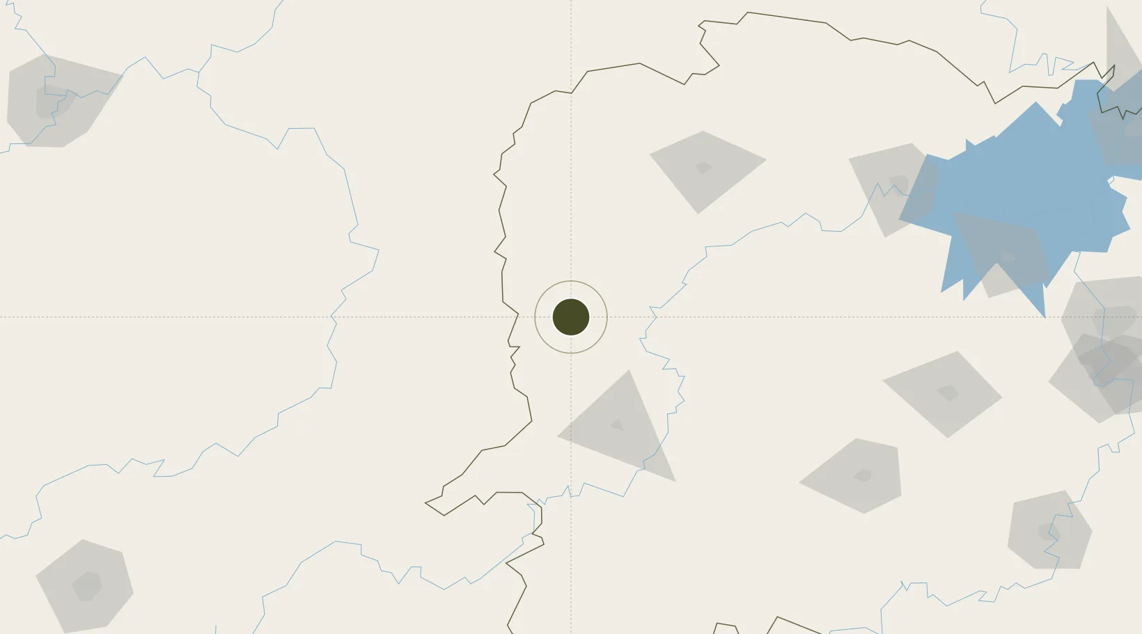
28.2281°, 109.6822°
2,050 ha
Zone area
516.9 km
Nearest port
33.8 km
Nearest airport

Gateway access

Nearest neighbours — logibook spatial index (haversine) over the source coordinates

Zone profile

Zone type
Free Trade Zone
Open Zone Map
Region
Hunan
Open Zone Map
Status
Active
Open Zone Map
Management
Public
Open Zone Map
Operator
Management Commitiee
Open Zone Map
Legal framework
Xiangxi Economic Development Zone was established in July 2004
Open Zone Map

Location

Location of ozm-1555
Natural Earth 10m (public domain) · Hunan · ozm-1555 · 28.23, 109.68GoogleOSMYandex

Nearby Logistics Neighbours

Ports
  1. 1Hankow517 km
  2. 2Guangzhou671 km
  3. 3Huangpu684 km
  4. 4Huangpuxingang691 km
  5. 5Qinzhou731 km
Nearest neighbours — logibook spatial index (haversine) over the source coordinates
Airports
  1. 1Xiangxi Biancheng Airport34 km
  2. 2Tongren Fenghuang Airport53 km
  3. 3Huaihua Zhijiang Airport87 km
  4. 4Zhangjiajie Hehua International Airport123 km
  5. 5Tongren Dejiang Airport (Under Construction)149 km
Nearest neighbours — logibook spatial index (haversine) over the source coordinates
Cities
  1. 1Jishou10 km
  2. 2Jiangsi49 km
  3. 3Tongren75 km
  4. 4Huaihua81 km
  5. 5Zhangjiajie122 km
Nearest neighbours — logibook spatial index (haversine) over the source coordinates
Trade Zones
  1. 1Hunan Yongshun Economic Development Zone0 km
  2. 2Jishou Economic Development Zone, Hunan7 km
  3. 3Guzhang Industrial Concentration Zone60 km
  4. 4Xiushan Industrial Park72 km
  5. 5Yuanling Industrial Concentration Zone77 km
Nearest neighbours — logibook spatial index (haversine) over the source coordinates
DatabookThe Record of Consolidated Knowledge
China beyond logistics?
Browse databook

All Sources

Trade ZonesOpen Zone Map
CC BY
Portsthe NGA World Port Index
Public domain (US gov)
AirportsOurAirports
Public domain
LocationsUN/LOCODE
UN/LOCODE — free
← China trade zones