Export Processing Zone · China

Jishou Economic Development Zone, Hunan Active
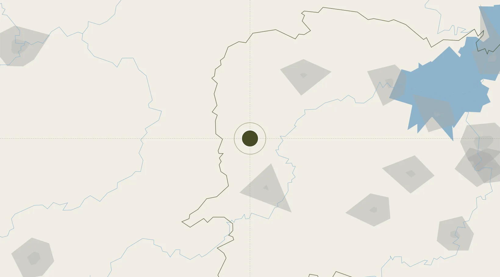
28.2568°, 109.7429°
2,000 ha
Zone area
510.1 km
Nearest port
34.4 km
Nearest airport

Gateway access

Nearest neighbours — logibook spatial index (haversine) over the source coordinates

Zone profile

Zone type
Export Processing Zone
Open Zone Map
Region
Hunan
Open Zone Map
Status
Active
Open Zone Map
Management
Public
Open Zone Map
Operator
Working Committee of Jishou Economic Development Zone, Hunan
Open Zone Map
Legal framework
Xiang Zhengban Letter [2001] No. 37
Open Zone Map

Location

Location of ozm-1350
Natural Earth 10m (public domain) · Hunan · ozm-1350 · 28.26, 109.74GoogleOSMYandex

Nearby Logistics Neighbours

Ports
  1. 1Hankow510 km
  2. 2Guangzhou670 km
  3. 3Huangpu683 km
  4. 4Huangpuxingang691 km
  5. 5Qinzhou735 km
Nearest neighbours — logibook spatial index (haversine) over the source coordinates
Airports
  1. 1Xiangxi Biancheng Airport34 km
  2. 2Tongren Fenghuang Airport60 km
  3. 3Huaihua Zhijiang Airport91 km
  4. 4Zhangjiajie Hehua International Airport116 km
  5. 5Tongren Dejiang Airport (Under Construction)156 km
Nearest neighbours — logibook spatial index (haversine) over the source coordinates
Cities
  1. 1Jishou7 km
  2. 2Jiangsi55 km
  3. 3Huaihua81 km
  4. 4Tongren81 km
  5. 5Zhangjiajie115 km
Nearest neighbours — logibook spatial index (haversine) over the source coordinates
Trade Zones
  1. 1Hunan Xiangxi Economic Development Zone7 km
  2. 2Hunan Yongshun Economic Development Zone7 km
  3. 3Guzhang Industrial Concentration Zone57 km
  4. 4Yuanling Industrial Concentration Zone70 km
  5. 5Xiushan Industrial Park77 km
Nearest neighbours — logibook spatial index (haversine) over the source coordinates
DatabookThe Record of Consolidated Knowledge
China beyond logistics?
Browse databook

All Sources

Trade ZonesOpen Zone Map
CC BY
Portsthe NGA World Port Index
Public domain (US gov)
AirportsOurAirports
Public domain
LocationsUN/LOCODE
UN/LOCODE — free
← China trade zones