Transport Functions
Multimodal
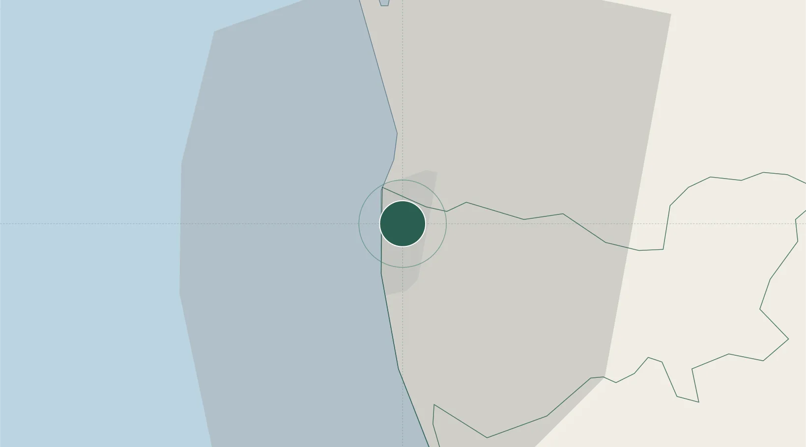
Location
Nearby Logistics Neighbours
Cities
- 1Kelaniya3 km
- 2Colombo5 km
- 3Hendala6 km
- 4Wattala6 km
- 5Pita Kotte7 km
Ports
- 1Colombo3 km
- 2Galle Harbor108 km
- 3Hambantota167 km
- 4Trincomalee Harbor233 km
- 5Tuticorin280 km
Airports
Trade Zones
DatabookThe Record of Consolidated Knowledge
Sri Lanka beyond logistics?