Export Processing Zone · China

Wuhe Economic Development Zone Active
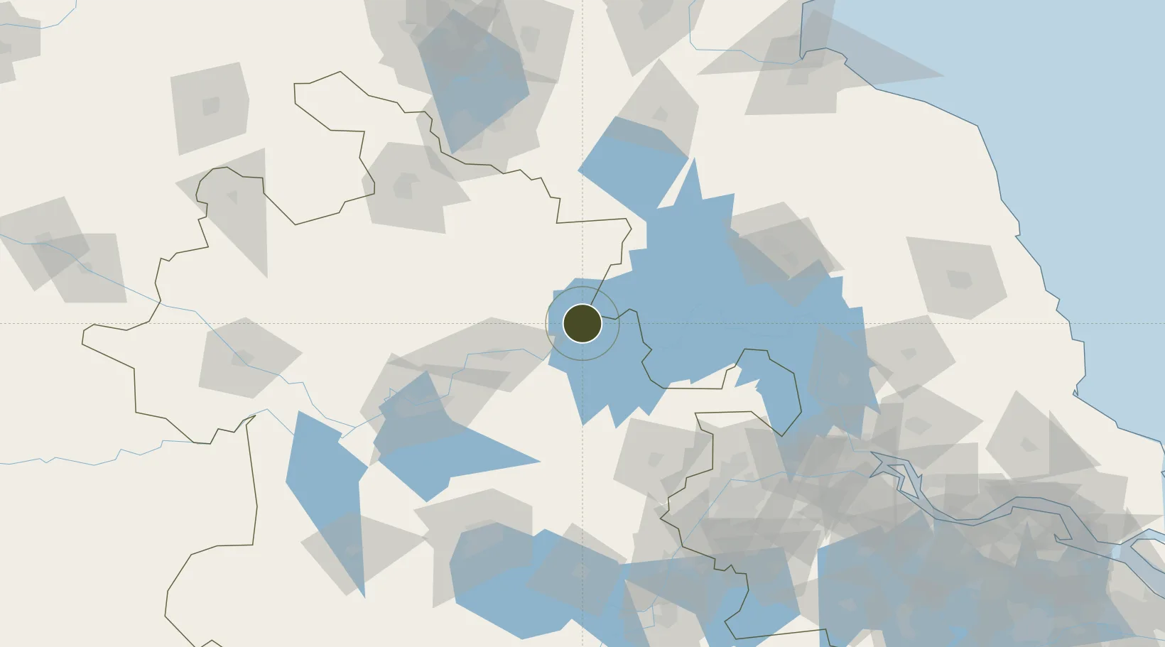
33.1250°, 117.8830°
1,650 ha
Zone area
141.5 km
Nearest port
60.9 km
Nearest airport

Gateway access

Nearest neighbours — logibook spatial index (haversine) over the source coordinates

Zone profile

Zone type
Export Processing Zone
Open Zone Map
Region
Anhui
Open Zone Map
Status
Active
Open Zone Map
Management
Public
Open Zone Map
Operator
Management Committee of Wuhe Economic Development Zone
Open Zone Map
Legal framework
Wuhe County Economic Development Zone is a provincial economic development zone approved by the provincial government in 2006
Open Zone Map

Location

Location of ozm-1328
Natural Earth 10m (public domain) · Anhui · ozm-1328 · 33.12, 117.88GoogleOSMYandex

Nearby Logistics Neighbours

Ports
  1. 1Nanjing142 km
  2. 2Yangzhou174 km
  3. 3Zhenjiang177 km
  4. 4Gaogang207 km
  5. 5Lianyungang230 km
Nearest neighbours — logibook spatial index (haversine) over the source coordinates
Airports
  1. 1Bengbu Tenghu Airport61 km
  2. 2Bengbu Tenghu Airport77 km
  3. 3Xuzhou Guanyin International Airport108 km
  4. 4Xuzhou Daguozhang Air Base136 km
  5. 5Feidong Air Base137 km
Nearest neighbours — logibook spatial index (haversine) over the source coordinates
Cities
  1. 1Bengbu53 km
  2. 2Chuzhou99 km
  3. 3Zhangshan117 km
  4. 4Huaiyin120 km
  5. 5Quanjiao123 km
Nearest neighbours — logibook spatial index (haversine) over the source coordinates
Trade Zones
  1. 1Anhui Mingguang Industrial Park39 km
  2. 2Mingguang Economic Development Zone39 km
  3. 3Fengyang Industrial Park41 km
  4. 4Lingbi Economic Development Zone54 km
  5. 5Bengbu Industrial Park54 km
Nearest neighbours — logibook spatial index (haversine) over the source coordinates
DatabookThe Record of Consolidated Knowledge
China beyond logistics?
Browse databook

All Sources

Trade ZonesOpen Zone Map
CC BY
Portsthe NGA World Port Index
Public domain (US gov)
AirportsOurAirports
Public domain
LocationsUN/LOCODE
UN/LOCODE — free
← China trade zones