UN/LOCODE hub · China
CNAQG

Anqing

30.5009°, 117.0488°
804,493
Population
3
Transport functions

Transport Functions

Port
Rail
Road
UN/LOCODE

Hub Profile

Place type
Provincial seat
GeoNames
Region
Anhui
GeoNames
Population
804,493
GeoNames
Time zone
Asia/Shanghai
GeoNames
Elevation
19 m
GeoNames
Logistics facilities
2
UN/LOCODE

Location

Location of CNAQG
Natural Earth 10m (public domain) · Anhui · CNAQG · 30.50, 117.05GoogleOSMYandex

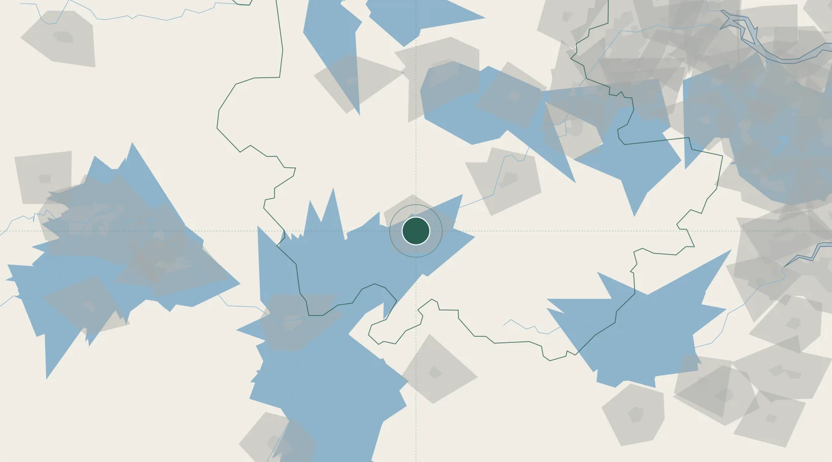
Nearby Logistics Neighbours

Cities
  1. 1Shipai43 km
  2. 2Tongling86 km
  3. 3Jingdezhen136 km
  4. 4Jiujiang137 km
  5. 5Chaohu144 km
Nearest neighbours — logibook spatial index (haversine) over the source coordinates
Ports
  1. 1Nanjing239 km
  2. 2Hankow265 km
  3. 3Zhenjiang296 km
  4. 4Yangzhou300 km
  5. 5Changzhou323 km
Nearest neighbours — logibook spatial index (haversine) over the source coordinates
Airports
  1. 1Anqing Tianzhushan Airport / Anqing North Air Base9 km
  2. 2Chizhou Jiuhuashan Airport67 km
  3. 3Jingdezhen Luojia Airport130 km
  4. 4Huangshan Tunxi International Airport144 km
  5. 5Hefei Xinqiao International Airport166 km
Nearest neighbours — logibook spatial index (haversine) over the source coordinates
DatabookThe Record of Consolidated Knowledge
China beyond logistics?
Browse databook

All Sources

LocationsUN/LOCODE
UN/LOCODE — free
LocationsGeoNames
CC BY 4.0
Portsthe NGA World Port Index
Public domain (US gov)
AirportsOurAirports
Public domain
Trade Zonesthe World Bank SEZ database
CC BY 4.0
Trade ZonesOpen Zone Map
CC BY
← China locations