Export Processing Zone · São Tomé & Príncipe

Malanza Free Zone Inactive
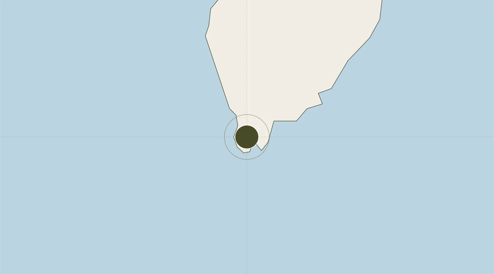
0.0511°, 6.5322°
71 ha
Zone area
40.1 km
Nearest port
41.5 km
Nearest airport

Gateway access

Nearest neighbours — logibook spatial index (haversine) over the source coordinates

Zone profile

Zone type
Export Processing Zone
Open Zone Map
Region
São Tomé
Open Zone Map
Status
Inactive
Open Zone Map
Management
Public-Private Partnership
Open Zone Map
Operator
Offshore Business Centre of Sao Tome & Principe
Open Zone Map
Legal framework
Decree no. 23/2019
Open Zone Map

Location

Location of ozm-4040
Natural Earth 10m (public domain) · São Tomé · ozm-4040 · 0.05, 6.53GoogleOSMYandex

Nearby Logistics Neighbours

Ports
  1. 1Sao Tome40 km
  2. 2Santo Antonio205 km
  3. 3Cap Lopez255 km
  4. 4Port Gentil266 km
  5. 5Oguendjo Terminal314 km
Nearest neighbours — logibook spatial index (haversine) over the source coordinates
Airports
  1. 1São Tomé International Airport42 km
  2. 2Annobón Airport191 km
  3. 3Principe Airport204 km
  4. 4Port Gentil International Airport261 km
  5. 5Libreville Leon M'ba International Airport323 km
Nearest neighbours — logibook spatial index (haversine) over the source coordinates
Cities
  1. 1Port Gentil264 km
  2. 2Equata309 km
  3. 3Oguandjo Terminal315 km
  4. 4Libreville330 km
  5. 5Owendo331 km
Nearest neighbours — logibook spatial index (haversine) over the source coordinates
Trade Zones
  1. 1Bunker Free Port34 km
  2. 2São Tomé Airport Free Zone41 km
  3. 3Baía das Agulhas Free Zone199 km
  4. 4Port-Gentil (Mandji) Special Economic Zone262 km
  5. 5Gabon New International Airport Free Zone323 km
Nearest neighbours — logibook spatial index (haversine) over the source coordinates
DatabookThe Record of Consolidated Knowledge
São Tomé & Príncipe beyond logistics?
Browse databook

All Sources

Trade ZonesOpen Zone Map
CC BY
Portsthe NGA World Port Index
Public domain (US gov)
AirportsOurAirports
Public domain
LocationsUN/LOCODE
UN/LOCODE — free
← São Tomé & Príncipe trade zones