Large airport · São Tomé & Príncipe

São Tomé International AirportFPST
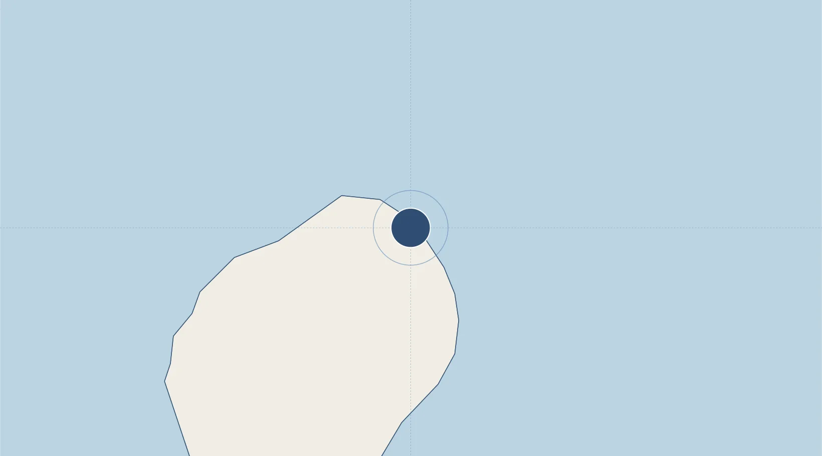
0.3782°, 6.7122°
7,283 ft
Longest runway
1
Runways
33 ft
Elevation

Runway & Layout

São Tomé International Airport runway & taxiway layout
Runway & taxiway layout — OpenStreetMap (ODbL) / OurAirports

Radio Frequencies

TWR
118.9 MHz
OurAirports

Navaids

SP NDB Sao Tome 330 kHz
STM VOR-DME Sao Tome 117.30 MHz
OurAirports

Runways · 1

RunwayDimensions SurfaceTrue headingLit
11/29 7,283 × 148ft Asphalt 103°
OurAirports

Airport Specifications

IATA code
TMS
OurAirports
ICAO code
FPST
OurAirports
Airport class
Large airport
OurAirports
Scheduled service
Yes
OurAirports
Runway surface
Asphalt
OurAirports
Served city
São Tomé
OurAirports

Location

Location of FPST
Natural Earth 10m (public domain) · São Tomé · FPST · 0.38, 6.71GoogleOSMYandex

Nearby Logistics Neighbours

Airports
  1. 1Principe Airport162 km
  2. 2Annobón Airport233 km
  3. 3Port Gentil International Airport257 km
  4. 4Corisco International Airport297 km
  5. 5Libreville Leon M'ba International Airport300 km
Nearest neighbours — logibook spatial index (haversine) over the source coordinates
Cities
  1. 1Port Gentil259 km
  2. 2Equata295 km
  3. 3Oso308 km
  4. 4Libreville309 km
  5. 5Owendo310 km
Nearest neighbours — logibook spatial index (haversine) over the source coordinates
Ports
  1. 1Sao Tome4 km
  2. 2Santo Antonio164 km
  3. 3Cap Lopez250 km
  4. 4Port Gentil261 km
  5. 5Libreville304 km
Nearest neighbours — logibook spatial index (haversine) over the source coordinates
Trade Zones
  1. 1São Tomé Airport Free Zone0 km
  2. 2Bunker Free Port17 km
  3. 3Malanza Free Zone42 km
  4. 4Baía das Agulhas Free Zone157 km
  5. 5Port-Gentil (Mandji) Special Economic Zone258 km
Nearest neighbours — logibook spatial index (haversine) over the source coordinates
DatabookThe Record of Consolidated Knowledge
São Tomé & Príncipe beyond logistics?
Browse databook

All Sources

AirportsOurAirports
Public domain
Portsthe NGA World Port Index
Public domain (US gov)
LocationsUN/LOCODE
UN/LOCODE — free
Trade Zonesthe World Bank SEZ database
CC BY 4.0
Trade ZonesOpen Zone Map
CC BY
InfrastructureOpenStreetMap
ODbL 1.0
← São Tomé & Príncipe airports