Channel & Berth Profile
Pilotage, Tugs & Services
Pilotage availableNO
Tug assistanceNO
Potable waterNO
Diesel bunkersNO
MedicalYES
Facilities & Capabilities
Container—
Ro-Ro—
Liquid bulk—
Dry bulk—
Oil terminal—
Break bulk—
Dry dock—
RepairsNO
BunkeringNO
Rail link—
Dangerous cargo—
ISPS security—
Harbour Specifications
Harbour size
Very Small
Harbour type
Coastal (Natural)
Shelter
Fair
Water body
Gulf of Guinea; North Atlantic Ocean
Tidal range
5 m
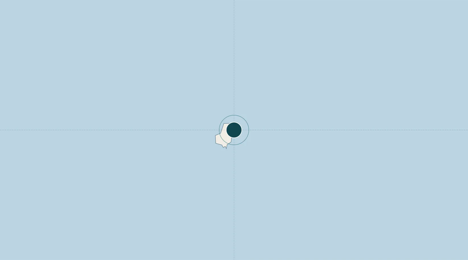
Location
Nearby Logistics Neighbours
Ports
- 1Sao Tome165 km
- 2Akpo Oil Terminal179 km
- 3Luba240 km
- 4Serpentina Terminal249 km
- 5Okwori Terminal250 km
Cities
- 1Oso145 km
- 2Serpentina Terminal249 km
- 3Okwori250 km
- 4Bata256 km
- 5Zafiro Terminal257 km
Airports
Trade Zones
- 1Baía das Agulhas Free Zone10 km
- 2São Tomé Airport Free Zone164 km
- 3Bunker Free Port175 km
- 4Malanza Free Zone205 km
- 5Luba Freeport237 km
DatabookThe Record of Consolidated Knowledge
São Tomé & Príncipe beyond logistics?