Export Processing Zone · São Tomé & Príncipe

Bunker Free Port Inactive
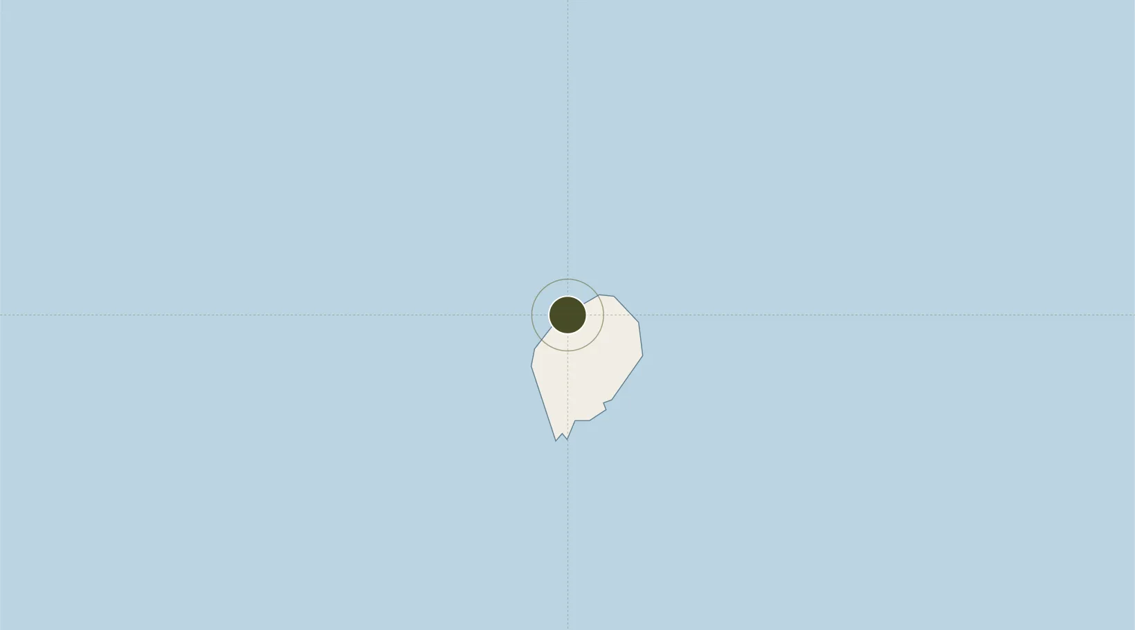
0.3574°, 6.5585°
1 ha
Zone area
19.5 km
Nearest port
17.2 km
Nearest airport

Gateway access

Nearest neighbours — logibook spatial index (haversine) over the source coordinates

Zone profile

Zone type
Export Processing Zone
Open Zone Map
Region
São Tomé
Open Zone Map
Status
Inactive
Open Zone Map
Management
Public
Open Zone Map
Operator
Neves Port Authority
Open Zone Map
Legal framework
Decree no. 23/2019
Open Zone Map

Location

Location of ozm-4037
Natural Earth 10m (public domain) · São Tomé · ozm-4037 · 0.36, 6.56GoogleOSMYandex

Nearby Logistics Neighbours

Ports
  1. 1Sao Tome20 km
  2. 2Santo Antonio175 km
  3. 3Cap Lopez264 km
  4. 4Port Gentil276 km
  5. 5Akpo Oil Terminal310 km
Nearest neighbours — logibook spatial index (haversine) over the source coordinates
Airports
  1. 1São Tomé International Airport17 km
  2. 2Principe Airport173 km
  3. 3Annobón Airport222 km
  4. 4Port Gentil International Airport272 km
  5. 5Corisco International Airport314 km
Nearest neighbours — logibook spatial index (haversine) over the source coordinates
Cities
  1. 1Port Gentil274 km
  2. 2Equata312 km
  3. 3Oso319 km
  4. 4Libreville326 km
  5. 5Owendo327 km
Nearest neighbours — logibook spatial index (haversine) over the source coordinates
Trade Zones
  1. 1São Tomé Airport Free Zone17 km
  2. 2Malanza Free Zone34 km
  3. 3Baía das Agulhas Free Zone168 km
  4. 4Port-Gentil (Mandji) Special Economic Zone272 km
  5. 5Gabon New International Airport Free Zone317 km
Nearest neighbours — logibook spatial index (haversine) over the source coordinates
DatabookThe Record of Consolidated Knowledge
São Tomé & Príncipe beyond logistics?
Browse databook

All Sources

Trade ZonesOpen Zone Map
CC BY
Portsthe NGA World Port Index
Public domain (US gov)
AirportsOurAirports
Public domain
LocationsUN/LOCODE
UN/LOCODE — free
← São Tomé & Príncipe trade zones