Seaport · São Tomé & Príncipe
Sao TomeSTTMS
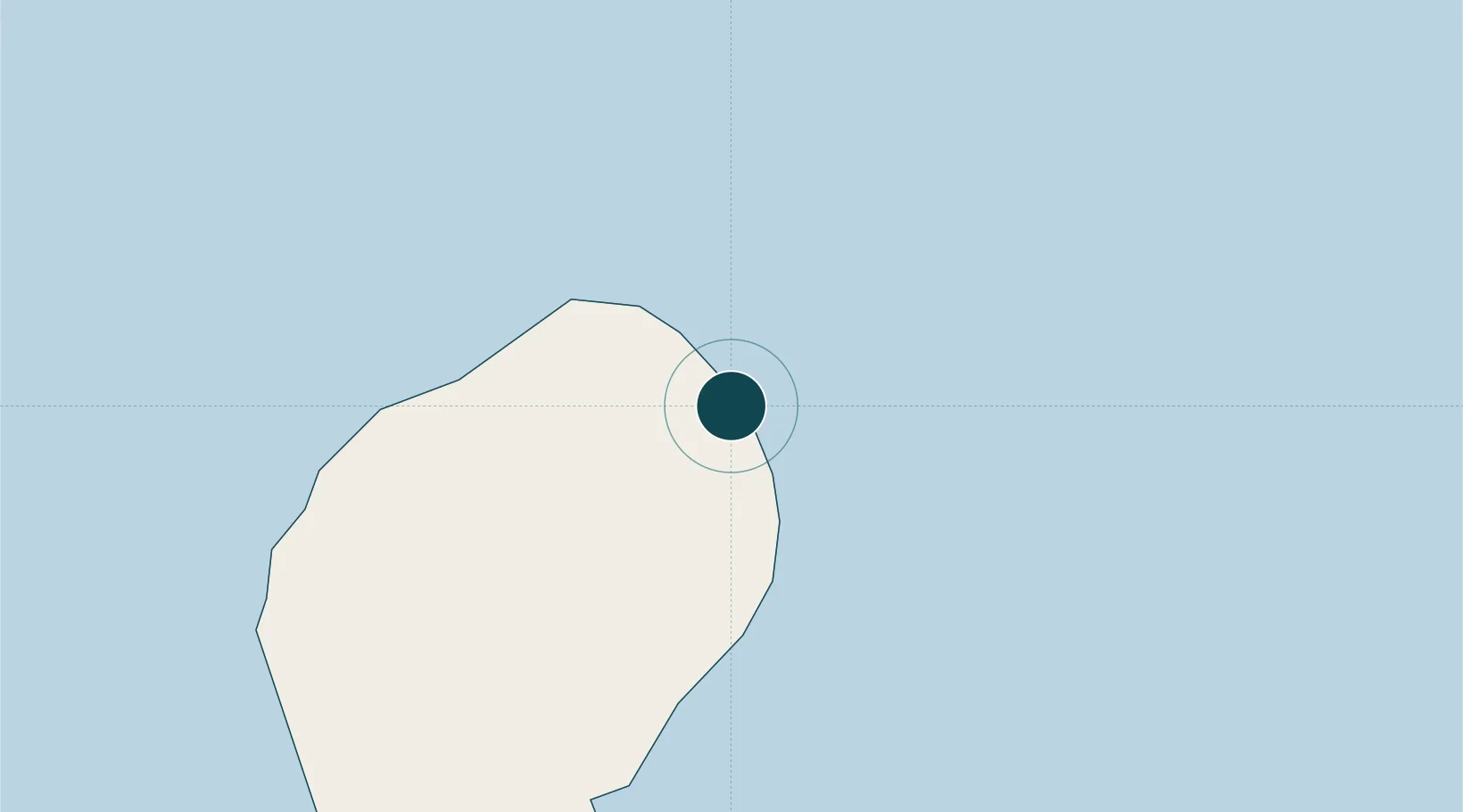
0.3500°, 6.7333°
37.0 m
Channel depth
1
Container terminals
28.1
Port liner connectivity
Channel & Berth Profile
Pilotage, Tugs & Services
Pilotage compulsoryNO
Pilotage availableNO
Local assistanceYES
Tug assistanceNO
Diesel bunkersNO
MedicalYES
Facilities & Capabilities
Container—
Ro-Ro—
Liquid bulk—
Dry bulk—
Oil terminal—
Break bulk—
Dry dock—
RepairsNO
BunkeringNO
Rail linkYES
Dangerous cargo—
ISPS security—
Harbour Specifications
Harbour size
Very Small
Harbour type
Open Roadstead
Shelter
Fair
Water body
Gulf of Guinea; North Atlantic Ocean
Tidal range
1.4 m
Pilotage
No
Liner Connectivity
28.1
PLSCI
Port Liner Shipping Connectivity Index for Sao Tome, as published by UNCTAD for the latest available quarter. Higher values indicate stronger scheduled liner-shipping integration.
Shown relative to the highest per-port PLSCI in the dataset (1,657.9).
Location
Container Terminals · 1
PORTO DE SAO TOME
TMS
Nearby Logistics Neighbours
Ports
- 1Santo Antonio165 km
- 2Cap Lopez246 km
- 3Port Gentil258 km
- 4Libreville302 km
- 5Port Owendo308 km
Cities
- 1Port Gentil256 km
- 2Equata292 km
- 3Libreville306 km
- 4Owendo308 km
- 5Oso310 km
Airports
- 1São Tomé International Airport4 km
- 2Principe Airport164 km
- 3Annobón Airport231 km
- 4Port Gentil International Airport254 km
- 5Corisco International Airport295 km
Trade Zones
DatabookThe Record of Consolidated Knowledge
São Tomé & Príncipe beyond logistics?