UN/LOCODE hub · Russia
RUAGK

Angarsk

52.5333°, 103.8833°
243,158
Population
3
Transport functions

Transport Functions

Port
Rail
Road
UN/LOCODE

Hub Profile

Place type
Provincial seat
GeoNames
Region
Irkutsk Oblast
GeoNames
Population
243,158
GeoNames
Time zone
Asia/Irkutsk
GeoNames
Elevation
430 m
GeoNames

Location

Location of RUAGK
Natural Earth 10m (public domain) · Irkutsk Oblast · RUAGK · 52.53, 103.88GoogleOSMYandex

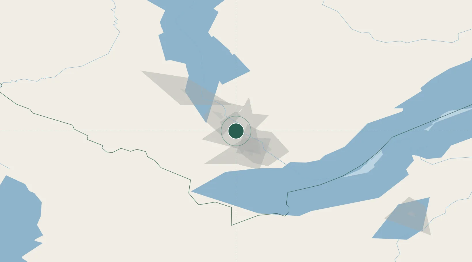
Nearby Logistics Neighbours

Cities
  1. 1Irkutsk42 km
  2. 2Haynrode125 km
  3. 3Ammern153 km
  4. 4Keulrod221 km
  5. 5Teluk Rubiah378 km
Nearest neighbours — logibook spatial index (haversine) over the source coordinates
Ports
  1. 1Qinhuangdao1843 km
  2. 2Huludao Gang1845 km
  3. 3Jinzhou Wan1847 km
  4. 4Tianjin Xin Gang1850 km
  5. 5Tangshan (Jingtang)1882 km
Nearest neighbours — logibook spatial index (haversine) over the source coordinates
Airports
  1. 1Irkutsk Northwest Airport27 km
  2. 2Irkutsk International Airport46 km
  3. 3Khuzhir Airport249 km
  4. 4Baikal International Airport256 km
  5. 5Dzhida Air Base259 km
Nearest neighbours — logibook spatial index (haversine) over the source coordinates
Trade Zones
  1. 1Baikal Gates Special Economic Zone114 km
  2. 2Baikal Haven Touristic Zone266 km
  3. 3Altanbulag Special Economic Zone306 km
  4. 4Ulanhot Economic and Technological Development Zone936 km
  5. 5Ceke Port Economic Development Zone1123 km
Nearest neighbours — logibook spatial index (haversine) over the source coordinates
DatabookThe Record of Consolidated Knowledge
Russia beyond logistics?
Browse databook

All Sources

LocationsUN/LOCODE
UN/LOCODE — free
LocationsGeoNames
CC BY 4.0
Portsthe NGA World Port Index
Public domain (US gov)
AirportsOurAirports
Public domain
Trade Zonesthe World Bank SEZ database
CC BY 4.0
Trade ZonesOpen Zone Map
CC BY
← Russia locations