UN/LOCODE hub · Philippines
PHBOG

Bogo

11.0500°, 124.0000°
23,562
Population
2
Transport functions

Transport Functions

Port
Road
UN/LOCODE

Hub Profile

Place type
District seat
GeoNames
Region
Central Visayas
GeoNames
Population
23,562
GeoNames
Time zone
Asia/Manila
GeoNames
Elevation
9 m
GeoNames

Location

Location of PHBOG
Natural Earth 10m (public domain) · Central Visayas · PHBOG · 11.05, 124.00GoogleOSMYandex

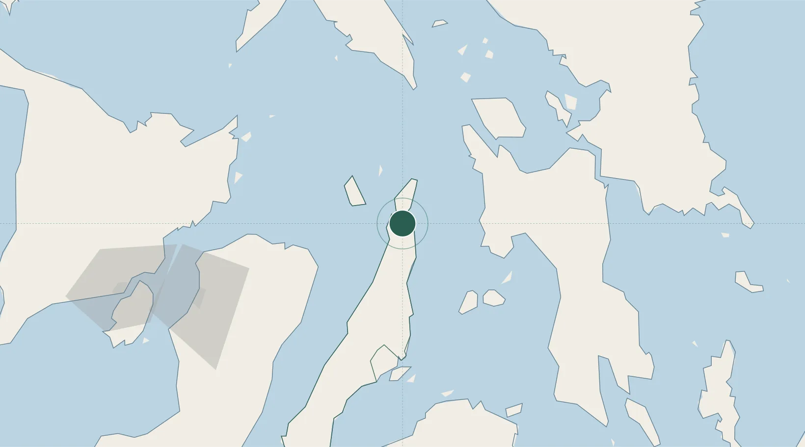
Nearby Logistics Neighbours

Cities
  1. 1Danao58 km
  2. 2Calubian, Leyte62 km
  3. 3Leyte63 km
  4. 4Albuera70 km
  5. 5Buanoy75 km
Nearest neighbours — logibook spatial index (haversine) over the source coordinates
Ports
  1. 1Palompon42 km
  2. 2Isabel50 km
  3. 3Ormoc66 km
  4. 4Cebu84 km
  5. 5Toledo86 km
Nearest neighbours — logibook spatial index (haversine) over the source coordinates
Airports
  1. 1Ormoc Airport62 km
  2. 2Mactan Cebu International Airport82 km
  3. 3Bacolod-Silay International Airport111 km
  4. 4Daniel Z. Romualdez Airport114 km
  5. 5Calbayog Airport128 km
Nearest neighbours — logibook spatial index (haversine) over the source coordinates
Trade Zones
  1. 1Carmen Cebu Gum Industrial Zone50 km
  2. 2Leyte Industrial Development Estate51 km
  3. 3Kananga Special Economic Zone55 km
  4. 4MRI Ecozone62 km
  5. 5West Cebu Industrial Park72 km
Nearest neighbours — logibook spatial index (haversine) over the source coordinates
DatabookThe Record of Consolidated Knowledge
Philippines beyond logistics?
Browse databook

All Sources

LocationsUN/LOCODE
UN/LOCODE — free
LocationsGeoNames
CC BY 4.0
Portsthe NGA World Port Index
Public domain (US gov)
AirportsOurAirports
Public domain
Trade Zonesthe World Bank SEZ database
CC BY 4.0
Trade ZonesOpen Zone Map
CC BY
← Philippines locations