Specialized Zone · Philippines

Ayala North Point TechnoHub Active
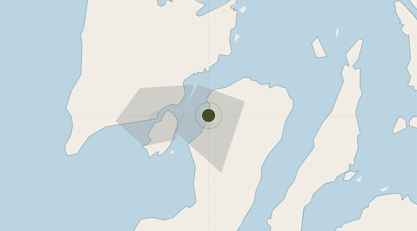
10.7226°, 122.9634°
12 ha
Zone area
29.0 km
Nearest port
8.5 km
Nearest airport

Gateway access

Nearest neighbours — logibook spatial index (haversine) over the source coordinates

Zone profile

Zone type
Specialized Zone
Open Zone Map
Specialization
Tech
Open Zone Map
Region
Bacolod
Open Zone Map
Status
Active
Open Zone Map
Management
Private
Open Zone Map
Operator
Ayala Land, Inc.
Open Zone Map
Legal framework
Special Economic Zone Act (Republic Act No. 7916) (as amended by Republic Act No. 8748)
Open Zone Map

Location

Location of ozm-3896
Natural Earth 10m (public domain) · Bacolod · ozm-3896 · 10.72, 122.96GoogleOSMYandex

Nearby Logistics Neighbours

Ports
  1. 1Pulupandan29 km
  2. 2Iloilo42 km
  3. 3San Carlos56 km
  4. 4Toledo83 km
  5. 5Port Capiz101 km
Nearest neighbours — logibook spatial index (haversine) over the source coordinates
Airports
  1. 1Bacolod-Silay International Airport9 km
  2. 2Iloilo International Airport53 km
  3. 3Roxas Airport100 km
  4. 4Evelio Javier Airport113 km
  5. 5Mactan Cebu International Airport120 km
Nearest neighbours — logibook spatial index (haversine) over the source coordinates
Cities
  1. 1Bacolod, Negros6 km
  2. 2La Carlota34 km
  3. 3Iloilo, Panay42 km
  4. 4Ajuy50 km
  5. 5Himamaylan, Negros72 km
Nearest neighbours — logibook spatial index (haversine) over the source coordinates
Trade Zones
  1. 1Lopues Mandalagan IT Center3 km
  2. 2Two Sanparq3 km
  3. 3The Central District IT Park3 km
  4. 4Monfort Information Technology Building5 km
  5. 5T.U. Building5 km
Nearest neighbours — logibook spatial index (haversine) over the source coordinates
DatabookThe Record of Consolidated Knowledge
Philippines beyond logistics?
Browse databook

All Sources

Trade ZonesOpen Zone Map
CC BY
Portsthe NGA World Port Index
Public domain (US gov)
AirportsOurAirports
Public domain
LocationsUN/LOCODE
UN/LOCODE — free
← Philippines trade zones