UN/LOCODE hub · Philippines
PHHIM

Himamaylan, Negros

10.0833°, 122.8667°
2
Transport functions

Transport Functions

Port
Road
UN/LOCODE

Hub Profile

Region
NEC
GeoNames

Location

Location of PHHIM
Natural Earth 10m (public domain) · NEC · PHHIM · 10.08, 122.87GoogleOSMYandex

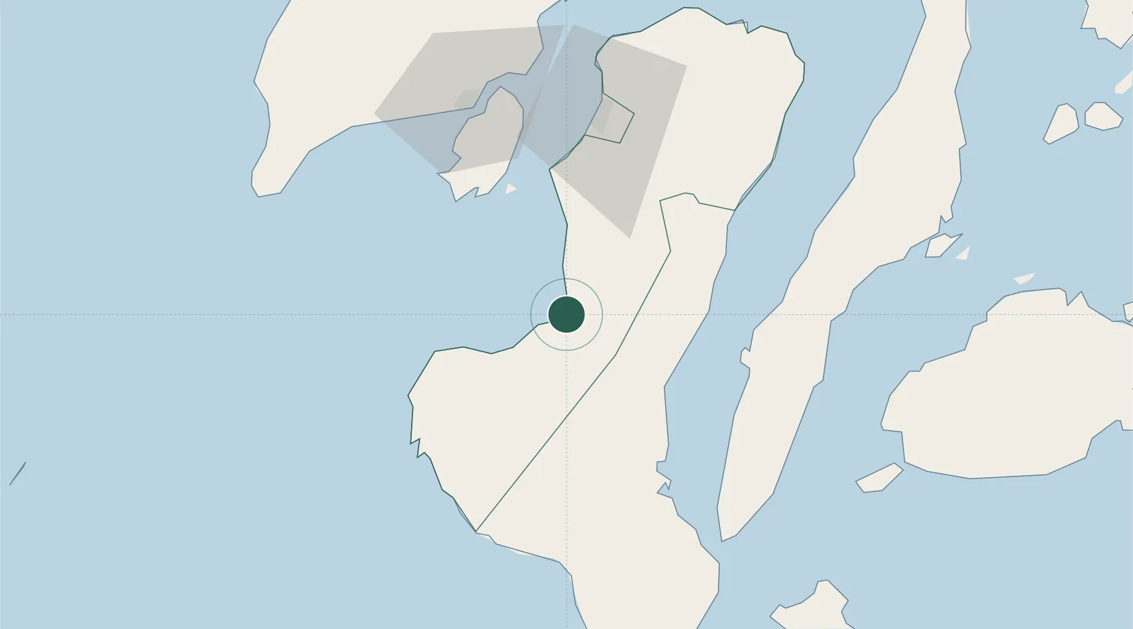
Nearby Logistics Neighbours

Cities
  1. 1La Carlota38 km
  2. 2Guihulngan46 km
  3. 3Bacolod, Negros67 km
  4. 4Malatapay67 km
  5. 5Iloilo, Panay76 km
Nearest neighbours — logibook spatial index (haversine) over the source coordinates
Ports
  1. 1Pulupandan49 km
  2. 2Bais60 km
  3. 3San Carlos75 km
  4. 4Iloilo75 km
  5. 5Toledo90 km
Nearest neighbours — logibook spatial index (haversine) over the source coordinates
Airports
  1. 1Bacolod-Silay International Airport79 km
  2. 2Iloilo International Airport93 km
  3. 3Sibulan Airport96 km
  4. 4Bohol-Panglao International Airport114 km
  5. 5Mactan Cebu International Airport124 km
Nearest neighbours — logibook spatial index (haversine) over the source coordinates
Trade Zones
  1. 1Bais City Ecozone54 km
  2. 2San Carlos Ecozone II59 km
  3. 3Transcom Center Bacolod63 km
  4. 4Guimaras Growth Center64 km
  5. 5One Sanparq65 km
Nearest neighbours — logibook spatial index (haversine) over the source coordinates
DatabookThe Record of Consolidated Knowledge
Philippines beyond logistics?
Browse databook

All Sources

LocationsUN/LOCODE
UN/LOCODE — free
Portsthe NGA World Port Index
Public domain (US gov)
AirportsOurAirports
Public domain
Trade Zonesthe World Bank SEZ database
CC BY 4.0
Trade ZonesOpen Zone Map
CC BY
← Philippines locations